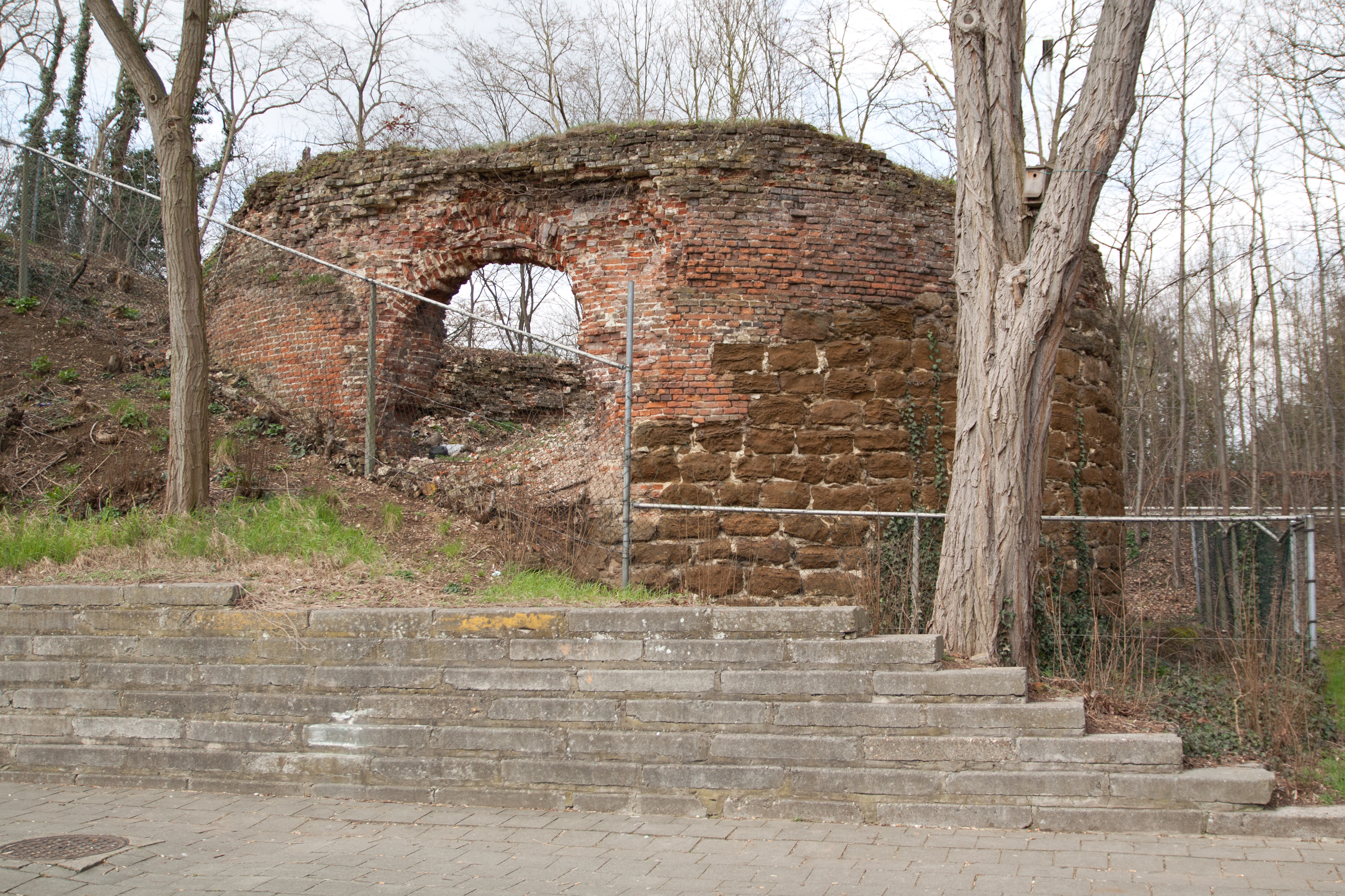
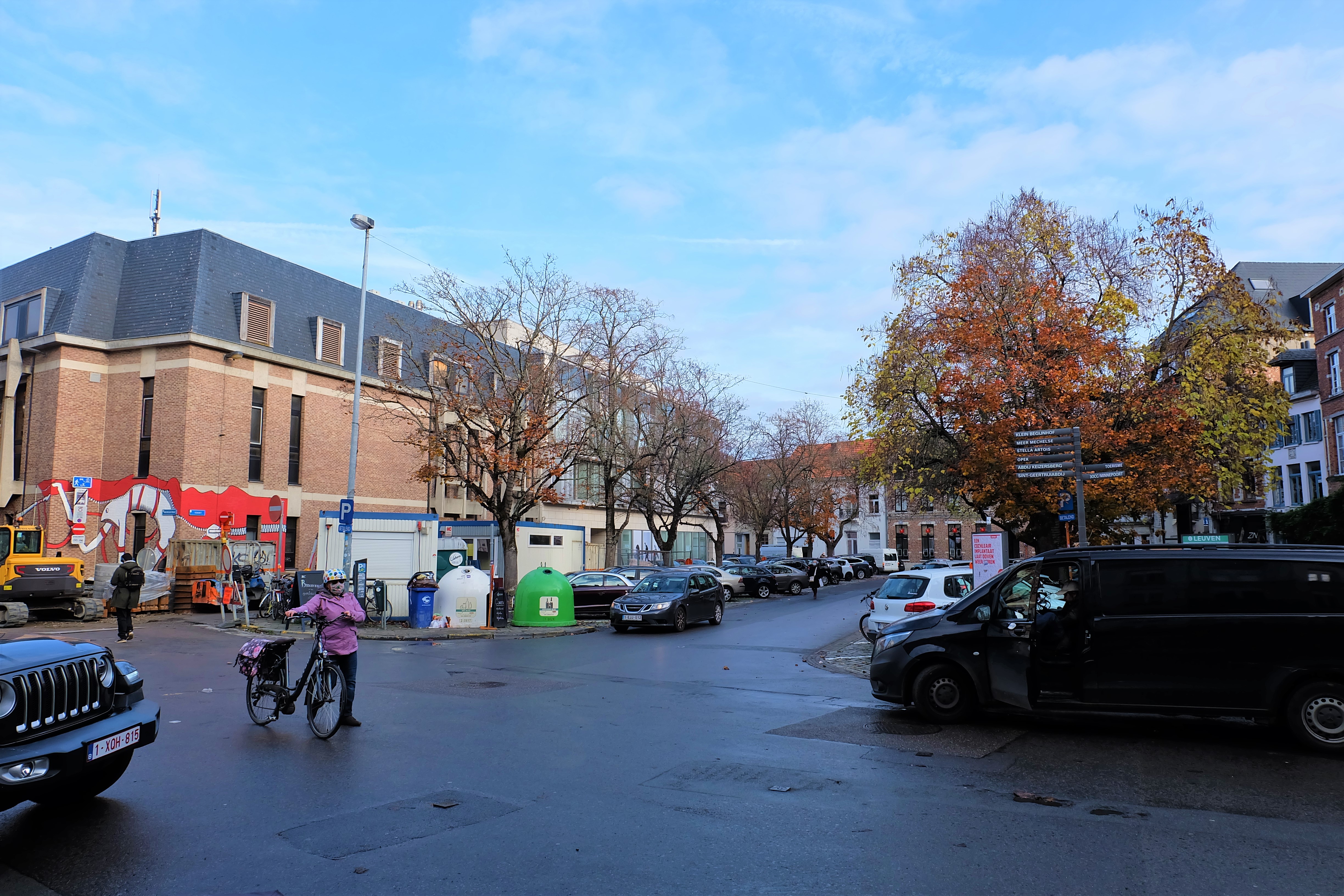
Exploring Old Leuven
What I really love to do, is to explore a city using an old map. This is a project which I have embarked on, to explore my hometown – the city of Leuven, located in the Brabant region of modern-day Belgium.
What are the buildings that have remained? How do things look like today, compared to a few hundred years ago? Using Google Map and Google Earth, I superimposed the old map onto the modern day navigation map in order to find the exact location of the lost and existing sights.
Join me in my quest to explore Old Leuven!
The Map of 1649
The map I am using dates from 1649, and it comes from the Atlas van Loon, now in the possession of Het Scheepvaartmuseum in the Netherlands. The atlas is a collection of 17th century maps compiled by Joan Blaeu of the North and South Netherlands:
“De Atlas van Loon bevat de Nederlandse versie van de ‘Grooten Atlas (Atlas Maior)’ van Joan Blaeu (negen delen uit 1663-1665), de twee stedenboeken van de noordelijke en de zuidelijke Nederlanden uit 1649, en de uit 1663 stammende Italiaanse stedenboeken over de Kerkelijke Staat, de stad Rome en het koninkrijk Napels en Sicilië.” (Source)
Click below if you wish to download the image file of the map in JPG or the overlay in KMZ file (for Google Earth or Open Street Map).

List of 74 Sites in the 1649 Atlas van Loon
As you can see from the original map, sites are numbered and there is a Legend on the right with the names of each numbered Key. For each of the sites, I produce a page numbered accordingly as on the 1649 Map, complete with the old and current names, the precise location on Google Map, as well as photos of its current state. On top of that, I have found some really interesting sites which are drawn on the map but are unmarked, yet offer a surprisingly interesting perspective today.
Legend:
- [ ] : Faulty attributions made by the cartographer.
- *: Site does not exist anymore and is not replaced by a significant building on the same spot.
I. – XXXVII.
- S. Pieters kercke
St Peter's Church
Sint-Pieterskerk - S. Michiels kercke
St Michael's Church
Herbert Hooverplein - S. Gheertruydts kerck, Clooster, abdie
St Gertrude's Church
Sint-Geertruikerk - S. Iacobus kercke
St James' Church
Sint-Jacobskerk - S. Quintens kerck
St Quentin's Church
Sint-Kwintenskerk - [Vlierbeke abdye]
Abbey of Vlierbeek
Oratoriënhof - Predicheeren Coll. Oratorium
Dominican Church
Predikherenkerk - Minnebroeders Descalces
Franciscan Abbey
KU Leuven Research and Development - [Vrauwenbroeders Boogarden] Klooster der Miniemen
Abbey of the Friars Minor
Miniemeninstituut - S. Augustinus cloost. en collegie
Augustinian Abbey
Augustijnenklooster* - Iesuiten cloost. en collegie
Jesuit Abbey
The current Sint-Michielskerk - t’ Groot bagynhoff
Great Beguinage
Groot Begijnhof - Charthreusen
Carthusian Abbey
Kartuizerklooster - Anonciaten
Convent of the Annunciation Sisters
Klooster van de Annunciaten - [Enghelsche Iesuyten] Klooster en College van de Engelse Predikheren
Abbey of the English Franciscans
(beside) Spoelberchinstituut - t’ Kleyn Baghynhoff
Small Beguinage
Klein Begijnhof - [Graususter huys] Priorij van de Heilige Ursula
Priory of St Ursula
Bruulpark - Capucynen
Capuchin Abbey
Kruidtuin - Hospitael
Hospital
Sint-Pietersziekenhuis/Hertogensite - [S. Cornelis gasthuys] Sint-Laurentiusgasthuis
St Lawrence Guesthouse
Exotic World - [Minimen clooster]
See site number 9. - [Enghelshe Iesuytersen] Sint-Monicaklooster
St Monica Convent
Sint-Rafaëlziekenhuis/Hertogensite - Onse Vrauwe kercke gulden
Chapel of Our Lady Without the Walls
Kapel van Onze-Lieve-Vrouw-ginder-buiten* - [Clarissen Regulier klooster] Klooster van de Geschoeide Karmeliete
Monastery of the Carmelitesn
Residentie Binnenhof - [Swart Susterhuys]
Abbey of the Our Lady of the Vineyard
Abdij Onze-Lieve-Vrouw ten Wijngaert* - Borcht Castri
Castle
Keizersberg - Collegie van Ghendt
College of Ghent
College van Gent* - Collegium Castry
School of the Castle
Pedagogie De Burcht - Collegie van Mechelen
College of Mechelen
College van Mechelen* - [Collegie verdoncq]
College Villers
Villerscollege - Collegie van Sauoyen
College of Savoy
Museum M - Collegie van S hertoghenbos
College of S'Hertogenbos
College van S’Hertogenbos* - Collegium Valconi
School of the Falcon
College De Valk - Collegium Leodiense
College of Liège
Jozef Vounckplein - Collegium Porci
School of the Hog
Hogeschoolplein - Collegium Pont. Max.
Pope's College
Pauscollege - Collegium pauperum
College of the Poor
Atrechtcollege
XXXVIII. – LXXIV.
- [Collegium Pont. Minomorum]
Holy Ghost College
Heilige-Geestcollege - Collegium Standoncq
Standonckcollege
Standonckcollege - Collegium S. Mariae
St Mary's College
Hollands College - Collegium Regii Mag.
King's College
Collegium Regii Mag. – Koningscollege - Collegium van Dale
College Van Dale
Van Dalecollege - Collegium Angliae Hiberniae
Irish College Leuven - S. Iooris Cappelle
St Georges' Chapel
Sint-Joriskapel* - S. Anthonius Capelle
St Antony's Chapel
Sint-Antoniuskapel - S. Barbara Capelle
St Barbara's Chapel
Joris Helleputteplein - d’Aerm Schole knechtiens huys
School for Poor Boys
Armenschool voor jongens* - [Fiere Margriettien] Clarissenklooster
Convent of the Rich Clares
Ladeuzeplein - Cellebroeders
Alexians
Residentie Camilo Torres - [Meyshuys arm Schole] Priorij van Sint-Maartensdal
Priory of the St Martin's Dale
Sint-Maartensdal - Stadhuys
City Hall
Stadhuis - Guldenhuys taefelronde
Round Table
Tafelrond - Vleeschuys
Meathouse
Mathieu de Layensplein - Halle
Hall
KU Leuven University Hall - Coorenhuys
Grainhouse
Korenhuis* - Waeghe
Weighhouse
Waag* - Mons Pietatis
Mount of Piety
Berg van Barmhartigheid* - Meyers huys
Mayor's House
Maria-Theresia- en Veteranencollege - Groote Marckt
Great Market
Grote Markt - Oude Marckt
Old Market
Oude Markt - Hout en Hoy Marcht
Hay Market
Rector de Somerplein - Vischmarckt
Fish Market
Vismarkt - Pense marckt
Sausage Market
Pensstraat - Veemarckt
Cattle Market
Pater Damiaanplein - Wynberghe
Wineberg
De Wijnpers Provinciale Secundaire School - Verlooren Cost
Tower of Lost Cost
Verloren Kosttoren - Mechelsche poort
Mechelen Gate
Mechelsepoort - Poort na Aerschoot
Aarschotsepoort - Poort na Diest
Diest Gate
Dietsepoort - Poort na Thienen
Tienen Gate
Tiensepoort - Poort na Perck
Park Gate
Parkpoort - Poort na Heueren
Heveren Gate
Naamsepoort - Poort naer ter Bourg
Castle Gate
Tervuursepoort - Wyngaert Poort
Vineyard Gate
Brusselsepoort
Extras
De Zeven Wonderen van Leuven, 1646
The Seven Wonders of Leuven, 1646
In the 17th century, several sights in Leuven were elevated to the Seven Wonders. The concept of Seven Wonders was inherited from the antiquity’s Seven Wonders of the World. After humanist scholar Erycius Puteanus (Eric van der Putte) came up with the Seven Wonders of Brussels, Leuven quickly followed suit in 1646, in line with the seven legendary noble families of the city. Out of the list, only three remain today.
- De Toren zonder Nagels
The Tower without Nails
Sint-Geertruiskerk - De Klok buiten de Toren
The Bell outside the Tower
Sint-Jacobskerk - Het Altaar buiten de Kerk
The Altar outside the Church
Jezuïetenkerk, the new Sint-Michielskerk - De Levenden lopen onder de Doden
The Living walk under the Dead
The previous Sint-Michielskerk* - Mensen lopen onder Boomwortels
Men walk under Tree Roots
Tervuursepoort - Het Water dat stroomopwaarts stroomt
The Water that flows upstream
Fiere Margriet* - De Toren lager dan de Kerk
The Tower that is lower than the Church
Klooster van Ongeschoeide Karmelietessen*
Kerken
Churches
Kloosters
Abbeys
- Dominicanessenklooster*
Convent of Dominican Sisters - Grauwzusters
Convent of the Grey Sisters
Klaverpark - Ierse-Predikheren*
Monastery of the Irish Dominican Friars - Karmelieten (Ongeschoeid) van Sint-Jozef – ‘Placet’
Discalced Carmelites of St Joseph
Keizershof - Karmelieten (Ongeschoeid) van Sint-Albertus – ‘Tacet’
Discalced Carmelites of St Albert
Heilig Hart Leuven Regional Ziekenhuis - Karmelietessen (Geschoeid)
Calced Carmelite Sisters
Ferdinand Verbiest Institute, Woonzorgcentrum Booghuys - Karmelietessen (Ongeschoeid) ‘Theresianen’*
Discalced Carmelite Sisters - Abdij van Kortenberg
Abbey of Kortenberg
Oude Abdij Kortenberg - Ursulinen
Ursulines
Justus Lipsiuscollege - Wittevrouwen
Convent of the White Sisters
Tweebronnen Municipal Library - Zwartzusters
Convent of the Black Sisters
Residentie Zwartzusters
Colleges
Colleges
- Aulnecollege
American College - Breugelcollege
- De Lelie, Pedagogie
- Drietongencollege
- Drieuxcollege
- Hogeheuvelcollege
- Luxemburgcollege
- Premonstreitcollege
- Sint-Ivocollege
- Vigliuscollege
Huizen
Houses
- Dieric Bouts
Eygen Heerd - Quinten Massijs
De Causse - Hotel d'Udekem d'Acoz
- Hotel van 't Sestich
- Huis Morillon
- Johannes de Lyra
- Justus Lipsius – Moribus Antiquis
- Matthijs de Layens – De Cuythoek
- Joannes Ludovicus Vivès - Tweebronnen
Vital Decosterstraat/Diestsestraat
Straten
Streets
- Den Cleynen Hollenwech
- Den Goeden Hollenwech
- Den Kwaden Hollenwech
Eerste Omwalling
Inner City Walls
- Steenpoort
Vaartstraat - Heilige-Geestpoort
Diestsestraat - Sint-Michielspoort
Herbert Hooverplein - Proefstraatpoort
Naamsestraat - Wolvenpoort
Schapenstraat - Redingenpoort
Redingenstraat - Broekstraatpoort/Liemingepoort
Janseniusstraat - Waterpoort
Justus Lipsiustoren-Janseniustoren - Minderbroederspoort
Minderbroedersstraat - Biestpoort
Brusselsestraat - Minnepoort
Brouwersstraat - Borchtpoort
Mechelsestraat - Sint-Geertruisluis
Sint-Geertruikerk
Tweede Omwalling
Outer City Walls
- Grote Spui
- Heksentoren
De Luibank - Kleine Spui
- Nieuw Werk
(See Aarschotsepoort) - Spuigat
(See Aarschotsepoort)
The 'Meyboom' of Brabant
The planting of the ‘Meyboom‘ – the Netherlandish version of the English ‘Maypole’ – is an ancient Germanic ritual that dates back to the Iron Age. While the Meyboom is mostly put up in the month of May to celebrate the renewal of nature, it is also erected on newly-built homes and on special occasions in town squares to celebrate victories and marriages.
Leuven’s annual planting of the Meyboom on 9 August Saint Lawrence’s Day is a special one: it was awarded by the Duke of Brabant Hendrik I, not to Leuven but to Brussels in 1213 following a skirmish between the two rival cities. A sign of ducal support, this ‘Tree of Joy‘ of the whole Duchy of Brabant was finally stolen back in Leuven’s hands in 1974, after 761 years!
Read more about the history of the Leuven’s Great Brabant Meyboom here. Enjoy the video below that I made for its 2021 edition.