ABOUT
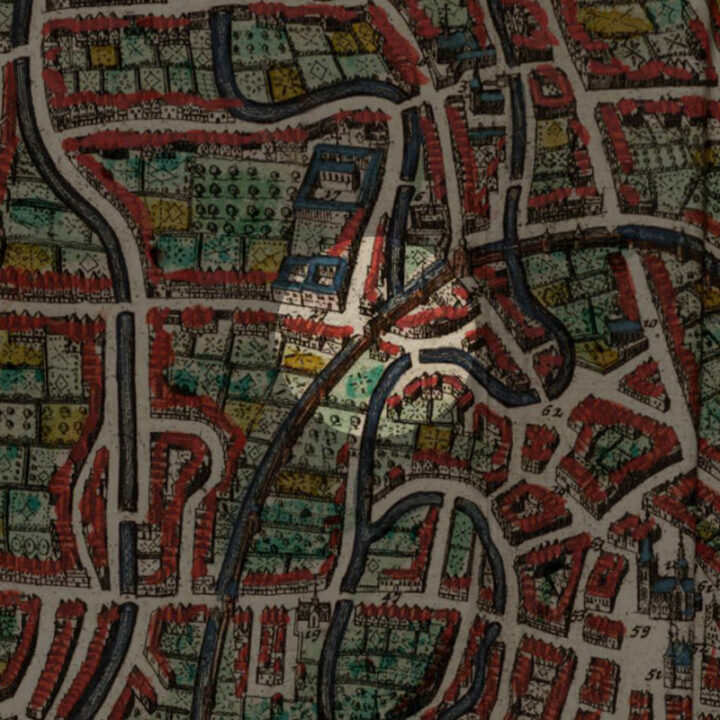
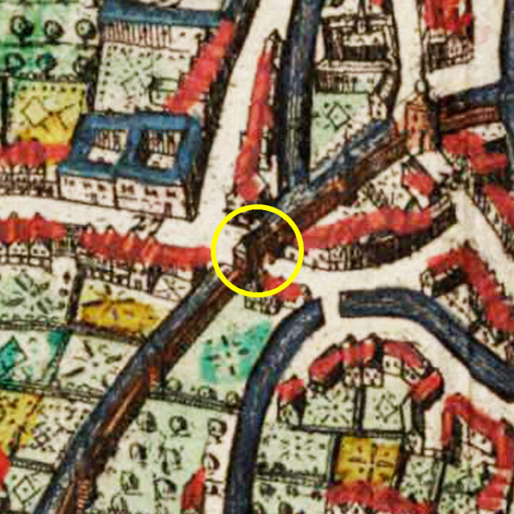
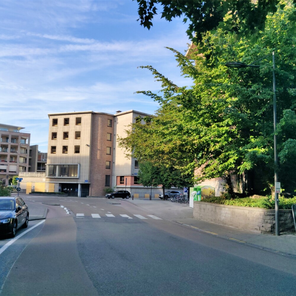
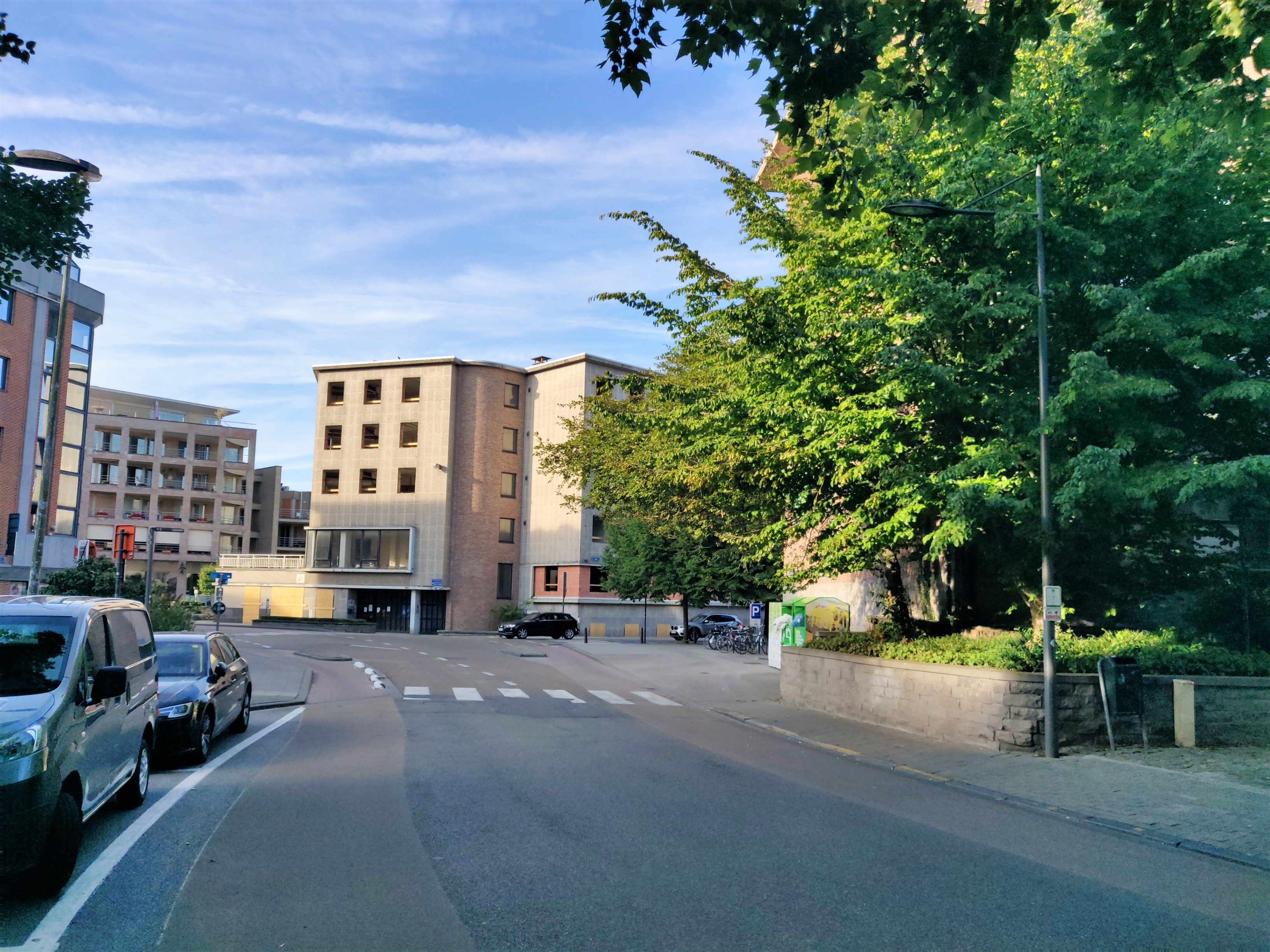
The Minnepoort (Gate of Love) was located on the Brouwerstraat, where it forms a junction with the Mercatorpad. The bridge that today is part of the Brouwersstraat used to be called the Minnebrug (Bridge of Love).
Origin
The First and Inner Defence Wall of Leuven: After 1190
In the Early Middle Ages, Leuven was defended by a primitive fence that stretched from the Aardappelmarkt (modern-day Vital Decosterstraat) to the Redingenstraat, while an arm of the River Dijle formed a natural border.
By the 13th century, when the city grew to be the permanent residence of the Count of Leuven and Brussels, the need for a stronger defense bulwark became urgent. Historians have traditionally dated the construction of Leuven’s first defense walls to be between 1156 and 1165, during the reign of Count Godfried III, due to the yearly tax he imposed on citizens for defense. However, the military features of Leuven’s wall such as anchor towers, arrowslits etc cannot date before the 1200s, making this estimate too early. It is now generally accepted that Leuven’s first city wall was built by Henry I (Henrik), the first Duke of Brabant (1190-1235). He also abolished his father’s defense tax in 1233.
Constructed with layers of sandstone from nearby Diegem and Zaventem and ironstone, the first defense wall was roughly 2,740 metres long with 31 watch towers, 11 city gates and 2 water gates.
The wall measures 1.70m thick and rests on a series of underground arches. On the field side, the wall rises to about 5m tall. On the inside, a continuous series of arches supported a three-foot-wide walkway. The wall had arrowslits that were reduced on the outside to a narrow opening of 90cm high and 5cm wide.
However, as the city grew rapidly in size, a second (outer) more impressive defence wall was built in 1357, rendering the inner wall somewhat redundant. But the inner wall and gates were not immediately torn down. Most of it only disappeared in the 18th and 19th centuries. Even so, we see more of Leuven’s inner city wall today than the more recent outer city wall. Very well-preserved remnants of the 12th-13th century wall can still be seen in the City Park, as well as in the Refugehof, the Handbooghof, in the Redingenstraat behind the Irish College, and on the Hertogensite. The outer city wall and gates were torn down completely in the 19th and 20th centuries to become today’s ring road around the city.
Below is the list of the gates of Leuven’s first city wall starting from the north going eastwards:
- Steenpoort
- Heilige-Geestpoort
- Sint-Michielspoort
- Proefstraatpoort
- Wolvenpoort
- Redingenpoort
- Broekstraatpoort/Liemingepoort
- Justus Lipsiustoren-Janseniustoren*
- Minderbroederspoort
- Biestpoort
- Minnepoort
- Borchtpoort
- Sint-Geertruisluis*
*water gates.
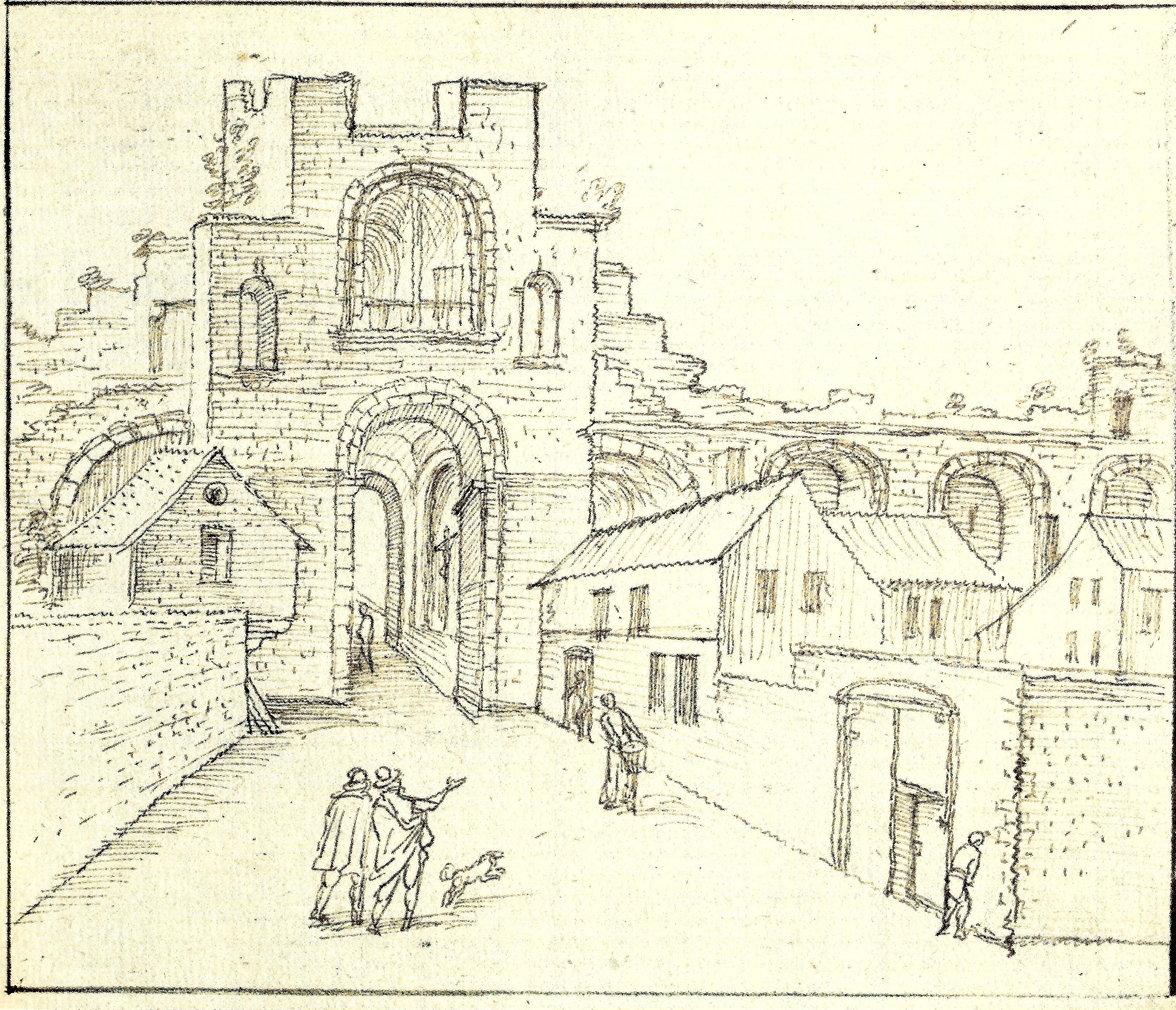
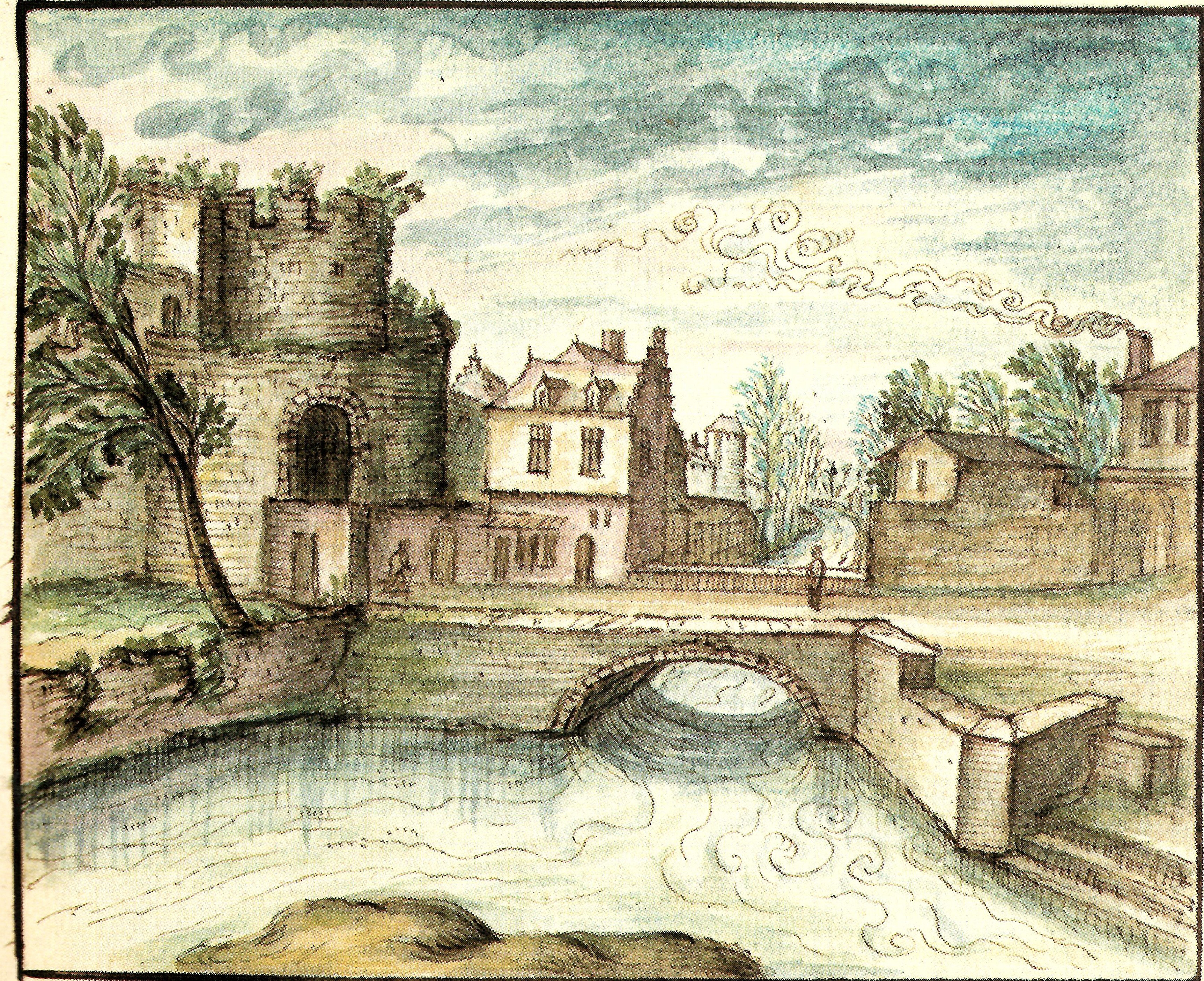
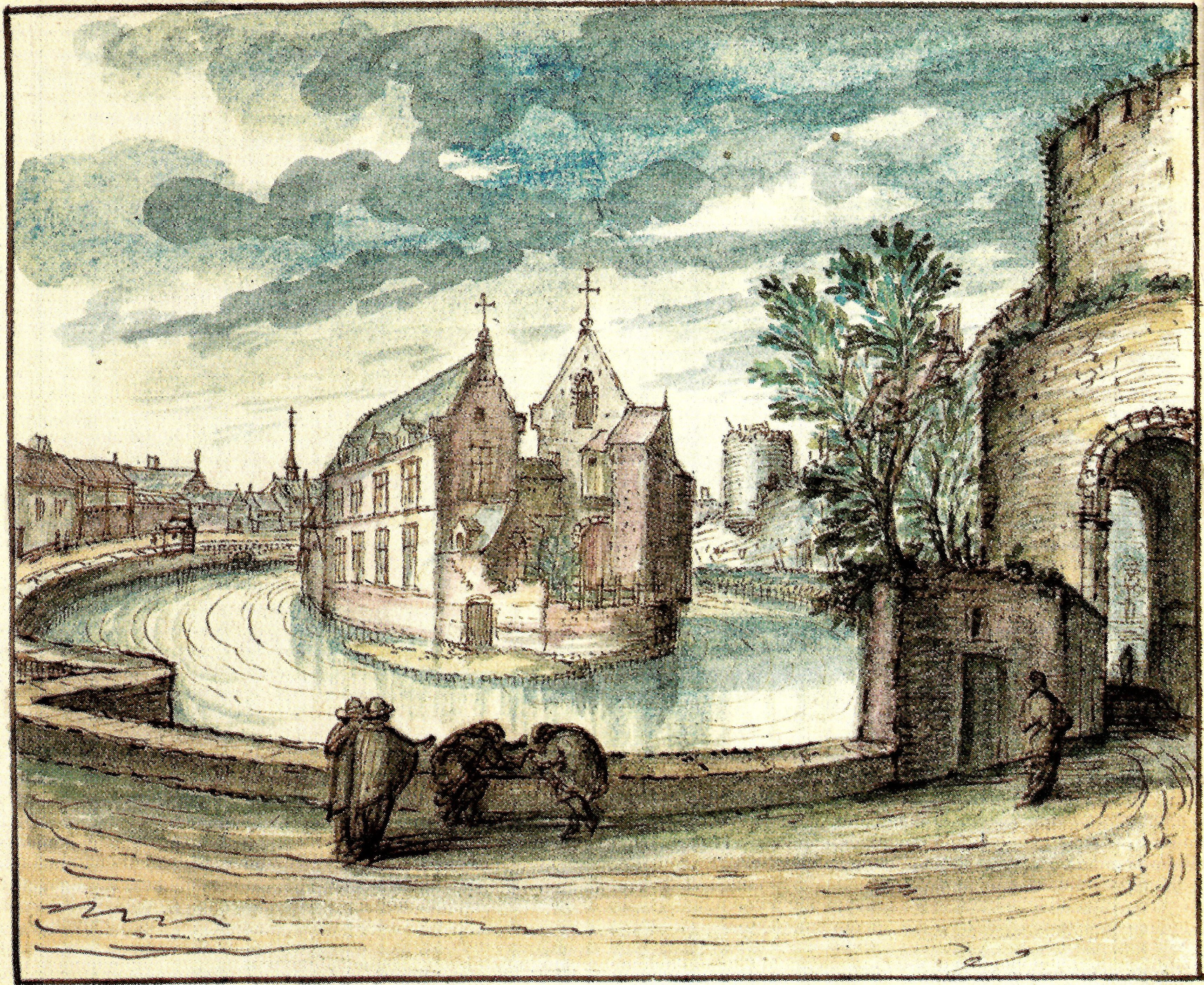
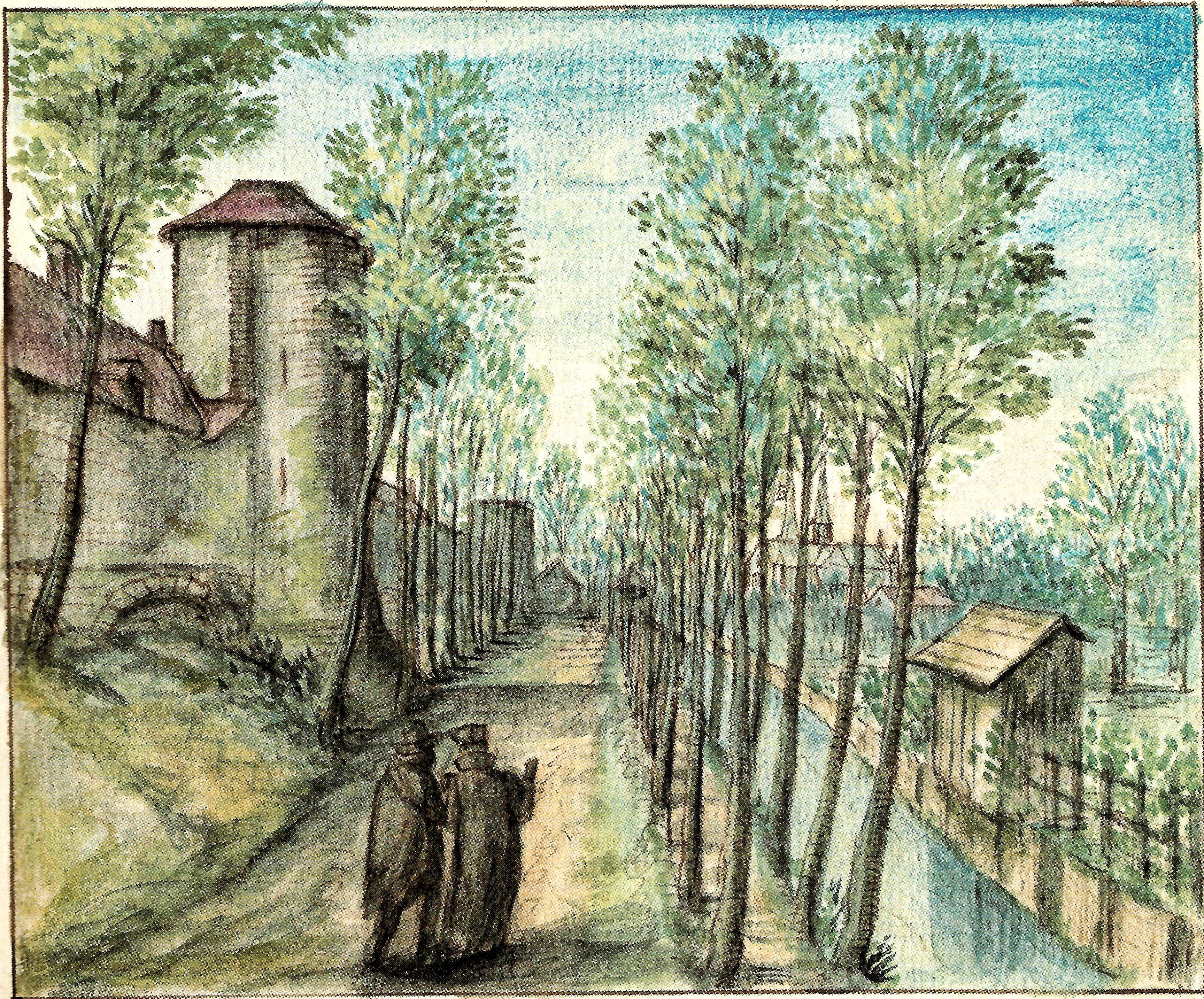
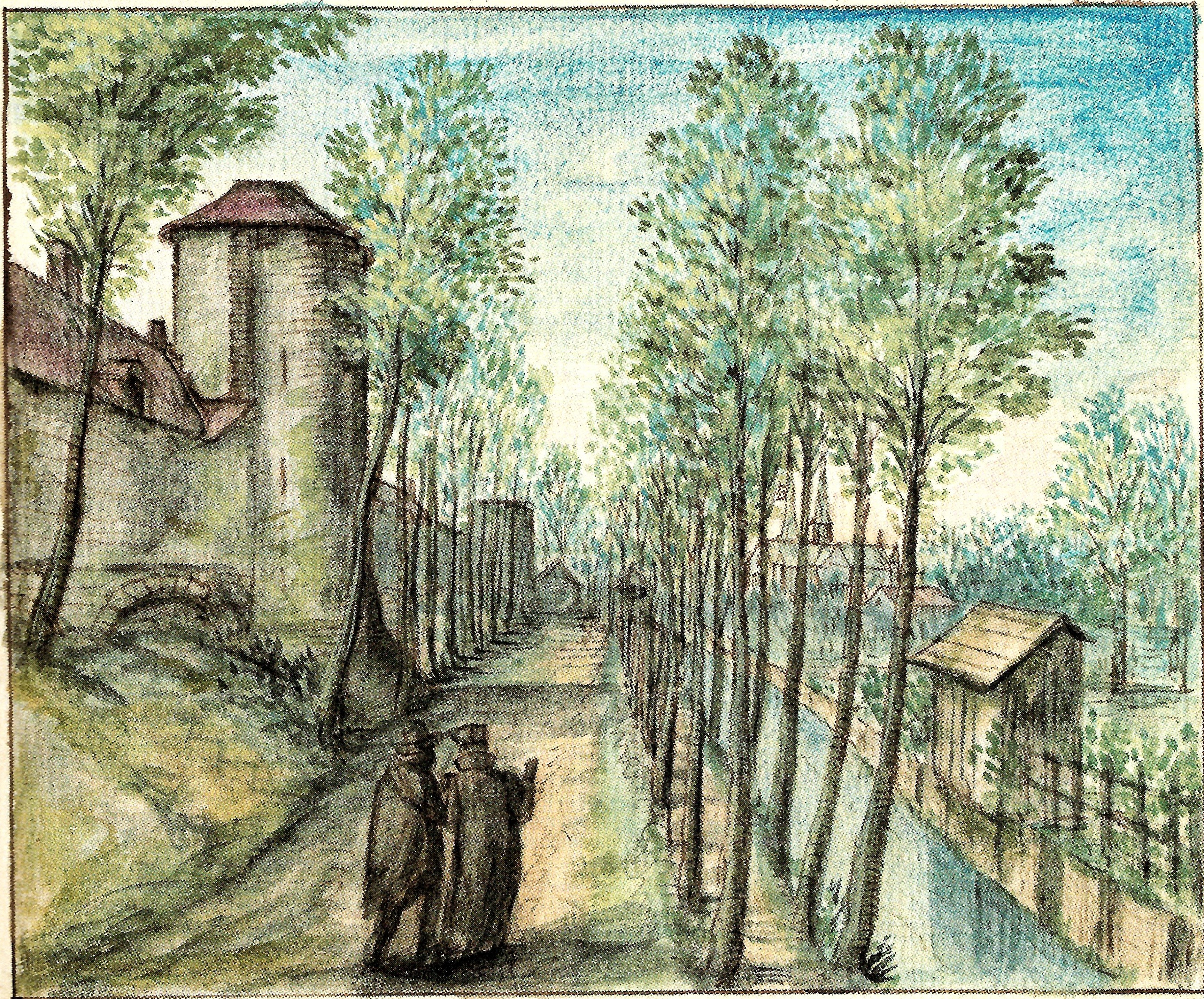
How did the Minnepoort look like?
The Minnepoort was a low and small city gate compared with the other inner city gates of Leuven. On the city side, it looked like a short gallery below a stepped gable, with houses built onto the city wall. On the country side, the gate was a single semi-circular tower topped with an upper level. The city gate lead to a bridge called the Minnebrug (Bridge of Love) across the River Dijle.
What's so special about this place?
The Gate of Love
It is not clear whether the Minnepoort (Gate of Love) was named after the Minnebrug (Bridge of Love) or the other way round, but it was first attested in writing as early as 1262. However, there might be a possible geographical explanation to this beautiful appellation.
There are three islands on the River Dijle in Leuven:
Ten Hove, where the first court of Leuven was located, which today is the Groot Begijnhof.
‘s-Hertogeneiland (The Duke’s Island) where the former Sint-Pietersziekenhuis (St Peter’s hospital) was and today it is the newly-developed Hertogensite.
The last but not least, is this spot out the Minnepoort where the River Dijle split again to form another island which in the 12th century was located outside the first city defense wall. Also, the Minnepoort was narrowly enclosed by two Dijle arms: outside the city wall, and along the Lei on the inside.
Perhaps for this reason, the city gate where the two Dijle arms nearly meet was a perfect metaphor for romantic love.
Back in the Middle Ages, after one went through the Minnepoort and crossed the Minnebrug, he would arrive onto a street that is called the “Langen Bruel” which extends until the River Voer. On his right, is the start of the island where the Oratoriënhof is located. Further up the road, was the Priorij van de Heilige Ursula en de 11.000 Maagden (Priory of Saint Ursula and 11,000 virgins) which today is the public park Den Bruul. On his left, the city wall continues along the river and this spot still looks the same today. Further up the road, the Dominican sisters set up a convent here in 1654. Because of this, the Lange Bruul became known in the 17th century as the Predikherinnenstraat (Dominican Sisters Street). Today, this street is called the Brouwersstraat (Brewers Street).
Origins of the Lei
Leuven’s renowned thinker Justus Lipsius called the Minnepoort, “Porta Leidensis“, because of the street leading to the city gate which today is called simply the “Lei“.
This street was known in the 14th century as “Leyem“, “Leyam” or “Leye“.
In Middle Dutch, the word “lei” had two meanings:
– “Leisteen” which means “slate” for the roof
– “Leide/Leie“, related to the English word “to lead“, and specifically referring to a dug-up waterway.
It is very likely that the Lei refers to the second meaning as the street leads the Dijle river arm that runs under the Hertogensite called “Aa” from the Brusselsestraat to the Minnepoort to merge into the Grote Dijle (Great Dijle), before it leads further to the harbour on the Vismarkt.
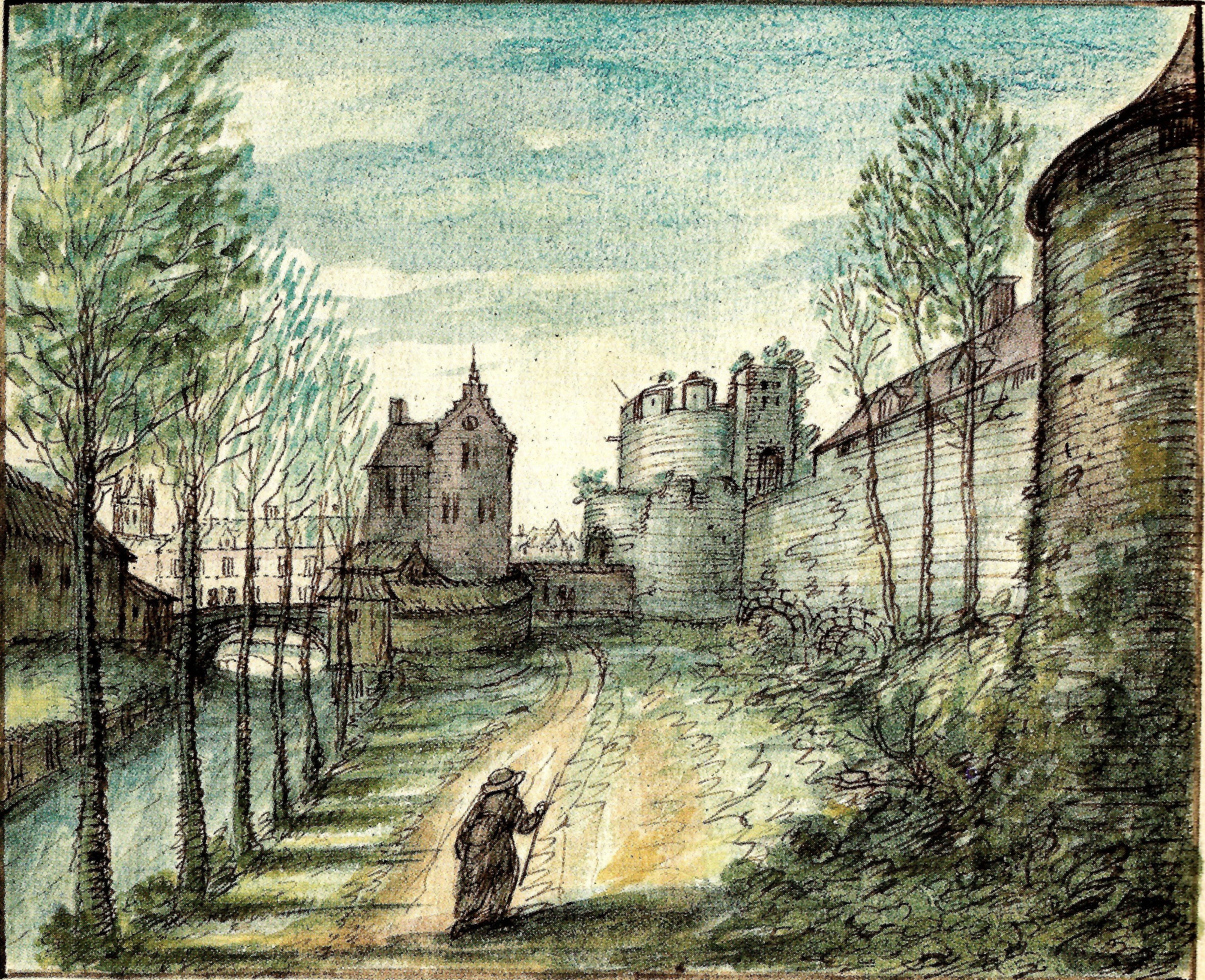
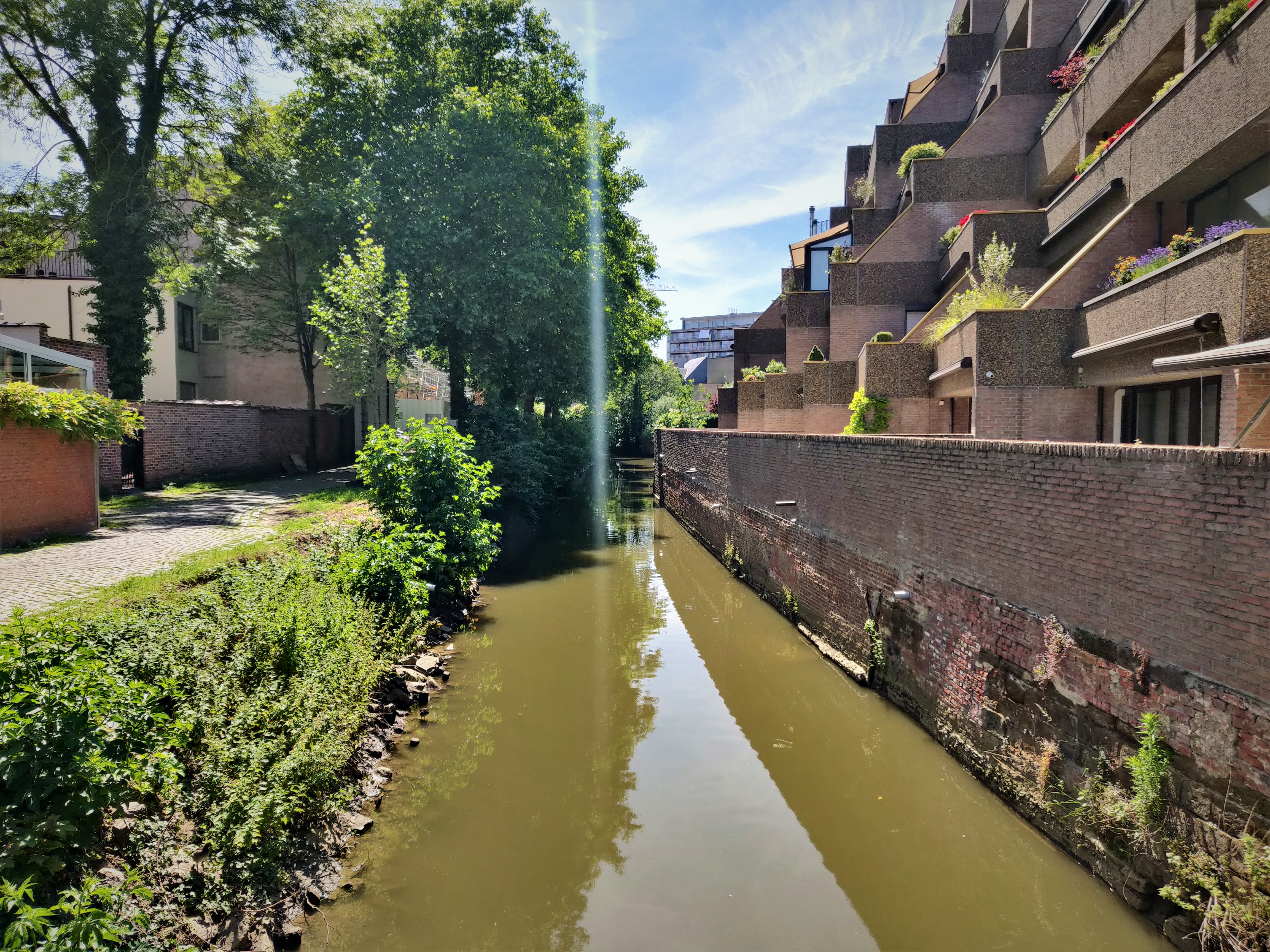
The Handbooghof: ‘one of the most picturesque sites of Leuven’
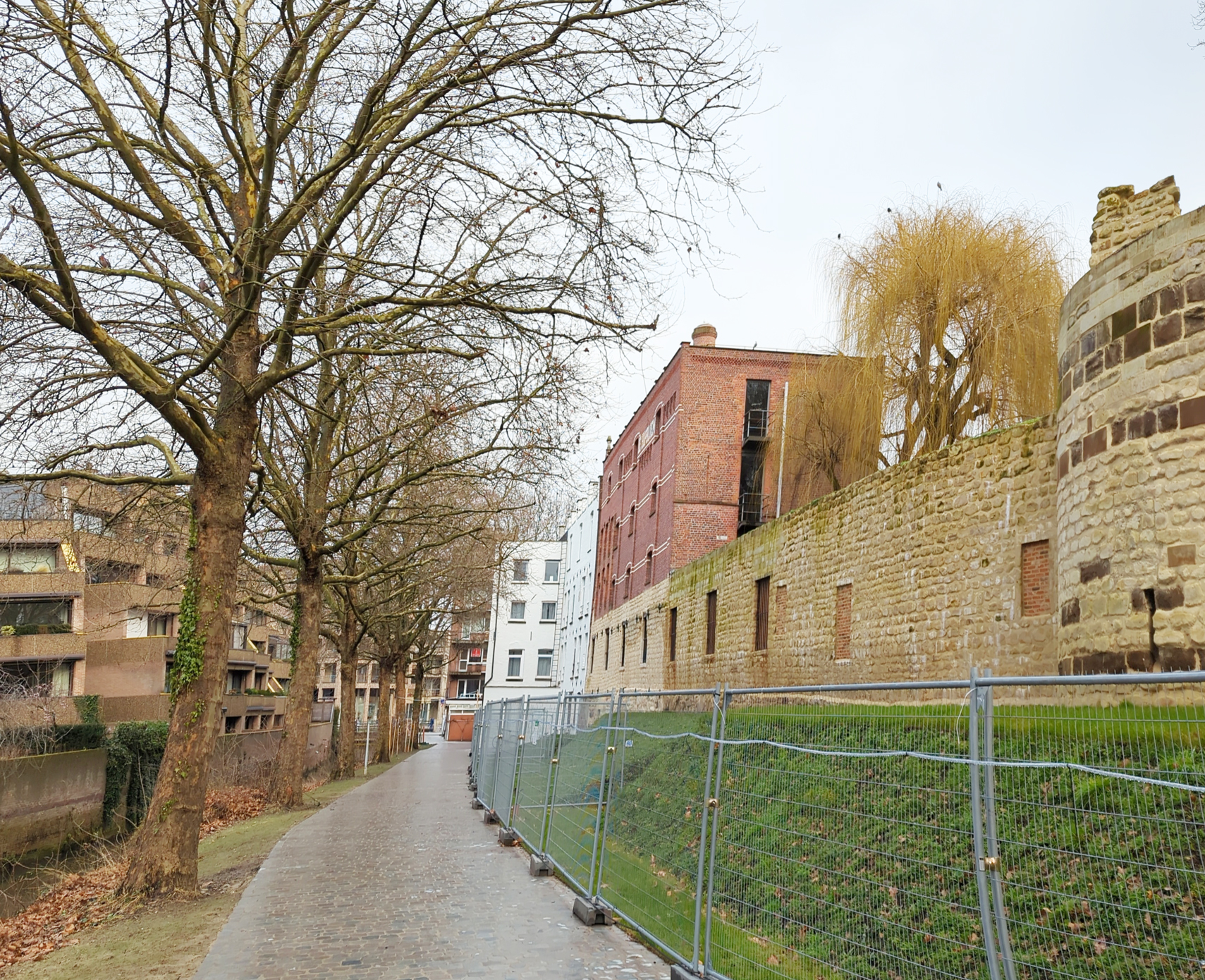
The stretch of the 12th century city wall with watch towers that runs along the River Dijle between the Minnepoort and the Biestpoort is known today as the Handbooghof (Longbow Court).
19th century city archivist and historian Edward van Even called it “one of the most picturesque sites of Leuven” and indeed, it is one of the most beautiful historical spots where one can literally go back to the Middle Ages.
The spot has been so well-preserved thanks to it being sealed off for private use. In the early 15th century, the Gilde van Sint-Sebastiaan (St Sebastian’s Guild) – an association of crossbow shooters – obtained the permission from the city to use the site temporarily for their practice. In 1482, the guild built a wooden shed close to the Brusselsestraat which served as their clubhouse. Then in 1736, the guild bought a house right against the Minnepoort, effectively closing off entry to their practice area. The other end at the Biestpoort was likewise blocked off in 1740, when the guild built a spectacular bluestone entrance to their clubhouse.
Beautiful and wide linden trees were planted along the river in this garden, said Van Even. These old linden trees still stand there to this very day.
The gild was disbanded in 1795 under the French Occupation.
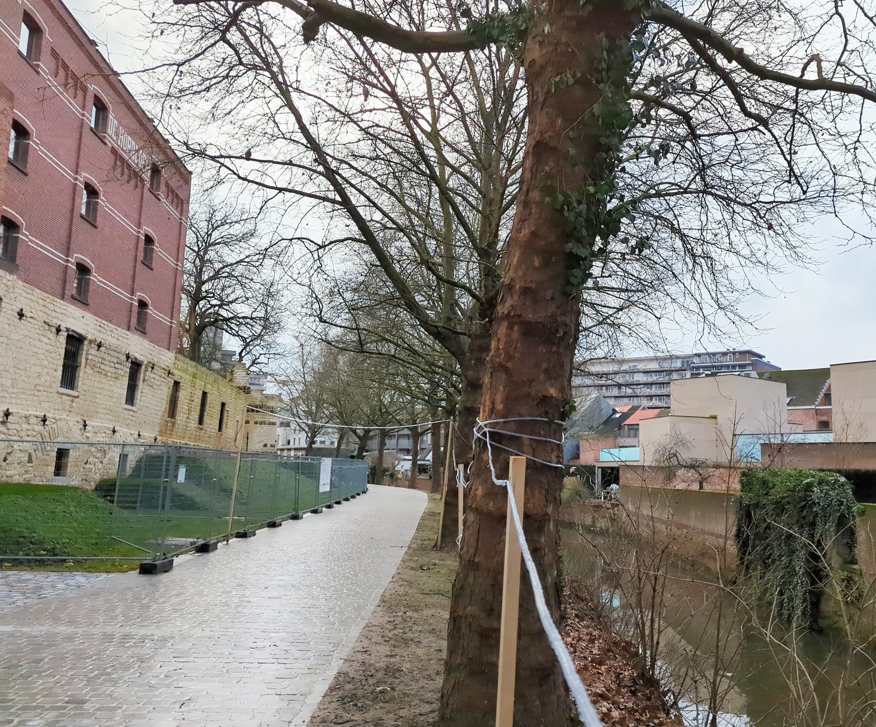
The entry from the Brusselsestraat, which had grown from a wooden shed into a guild house, actually existed until 1953. The entry via the Minnepoort was broken down and incorporated into the brewery called “de Hopbloem” in the 20th century. The brewery building still stands there today.
The beautiful Handbooghof was declared a protected landscape in 1945, and a protected monument in 1994. It received a much-needed touch-up in 2022-2023, after receiving a fund of 1.3 million euros.
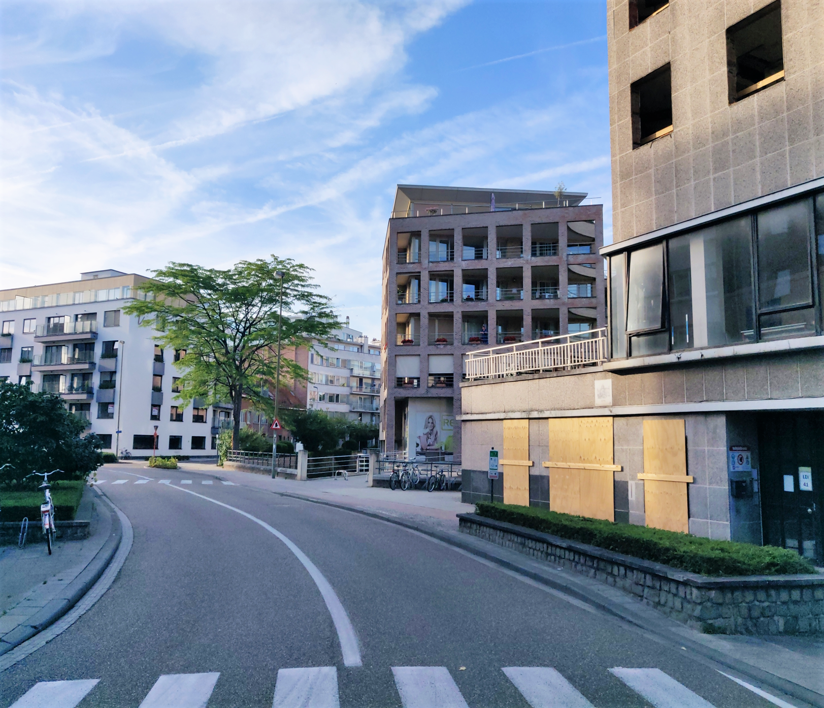
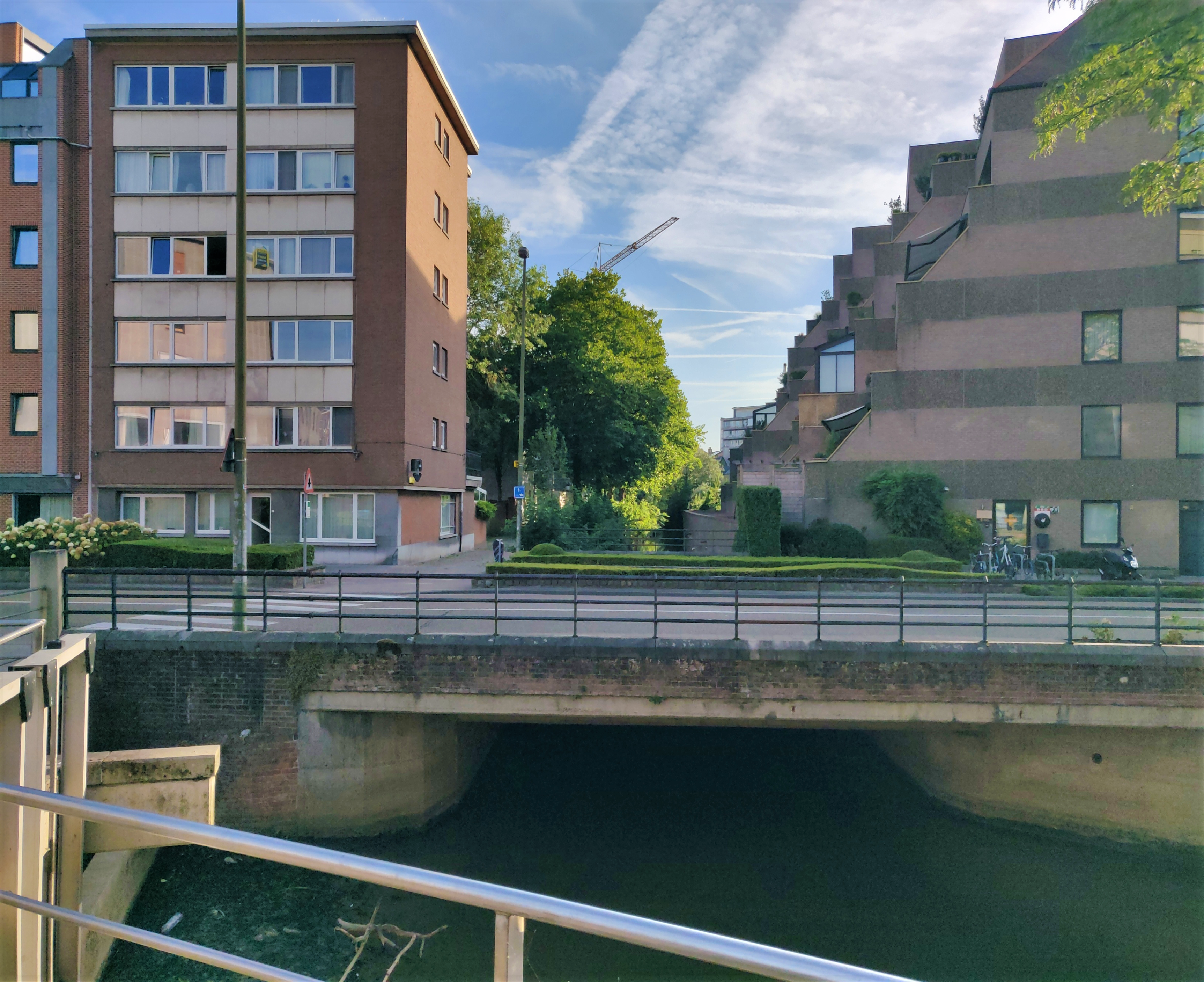
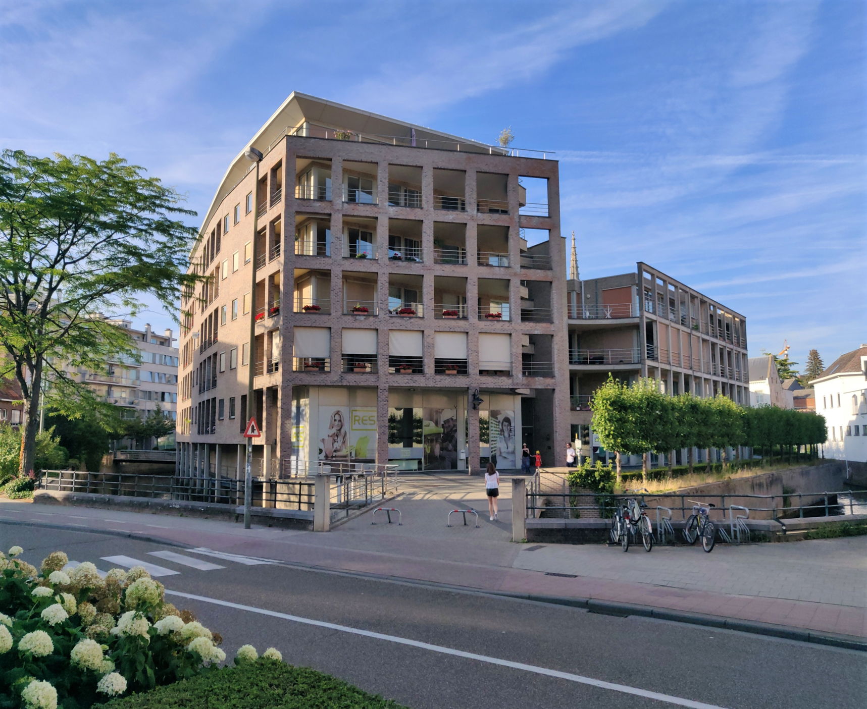
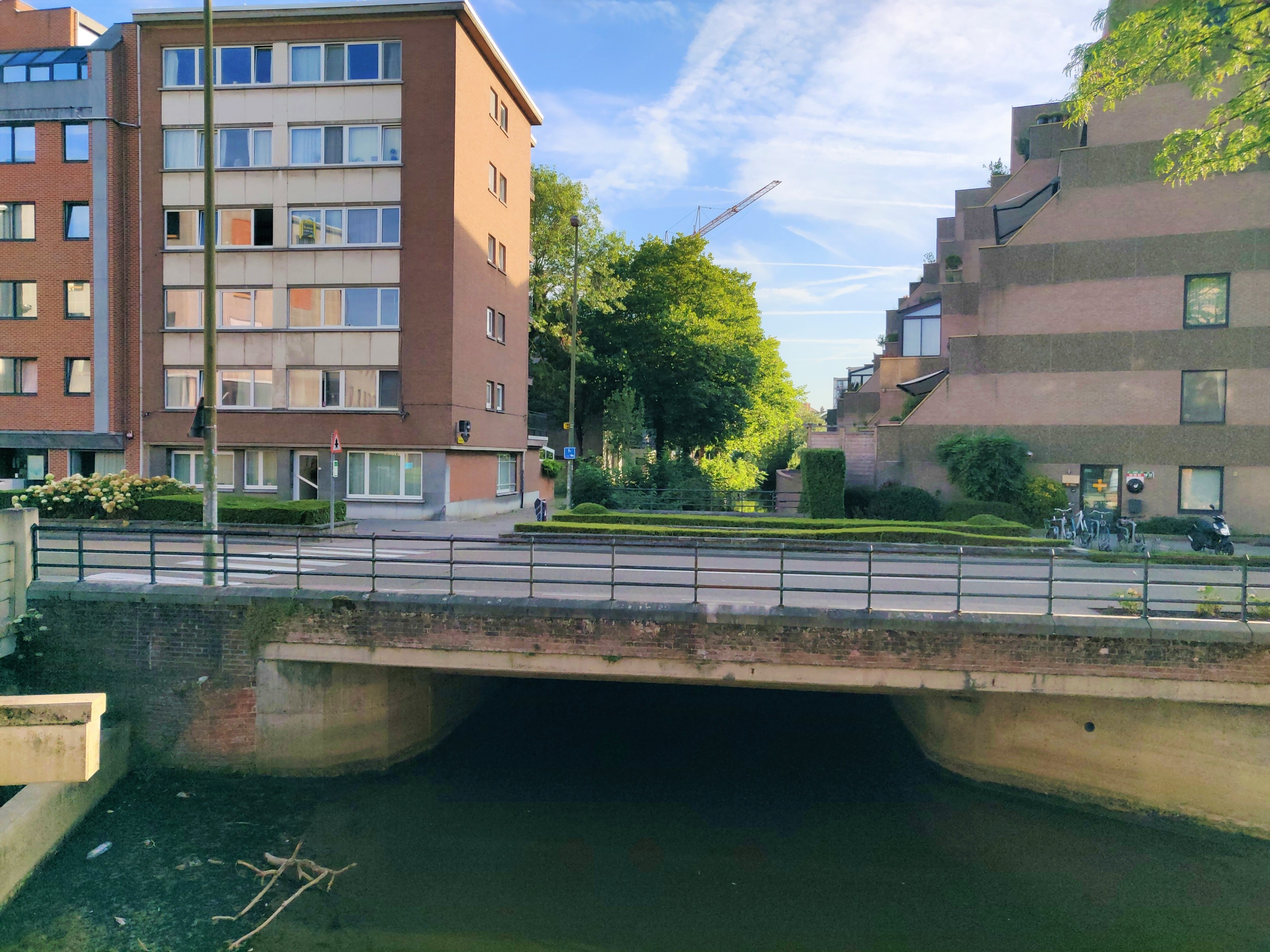
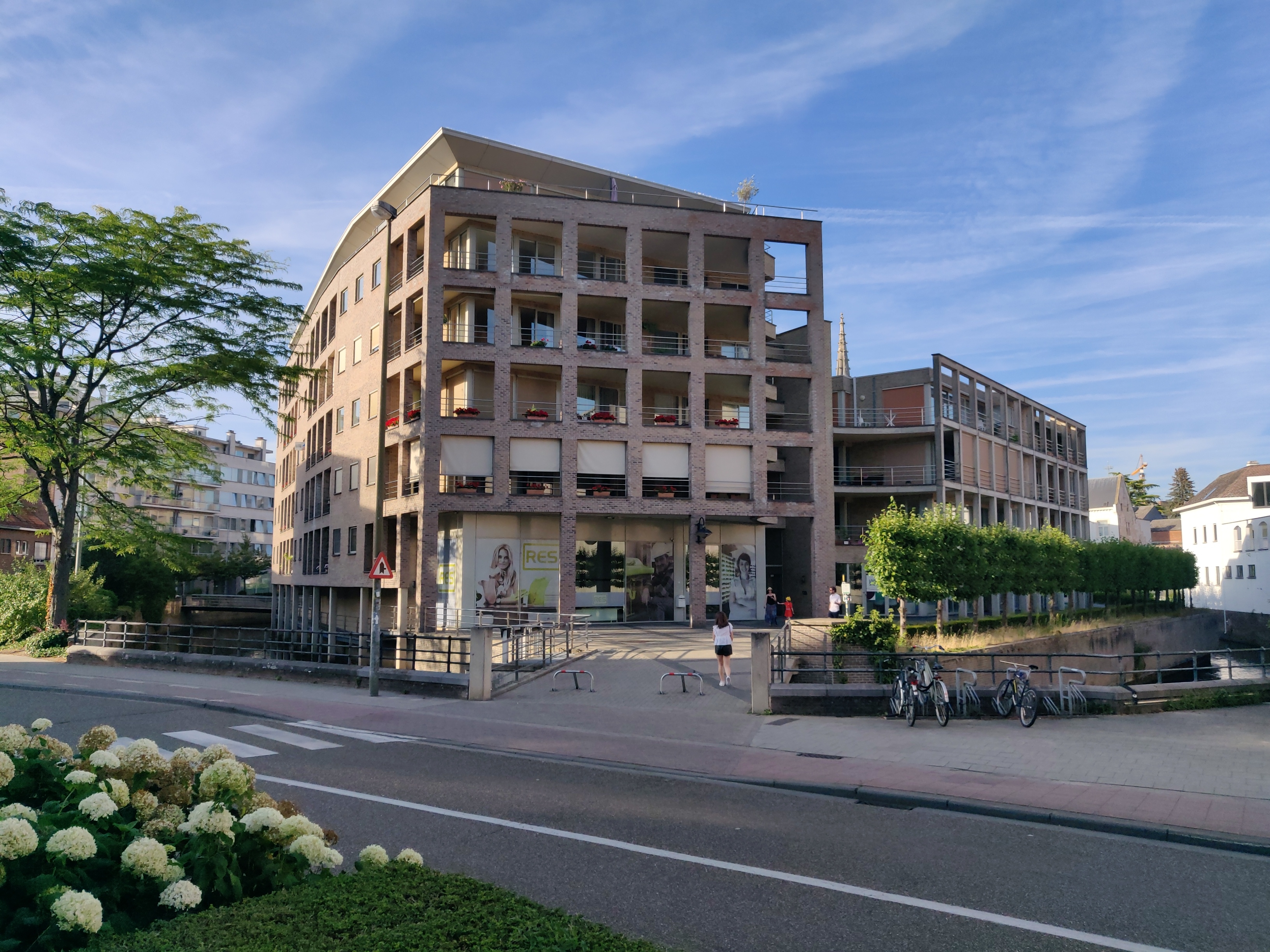
Current situation
The Minnepoort, Leuven’s original Gate of Love and Bridge of Love, has not received much love since it was broken down in 1762. Today, it is just a part of the Brouwersstraat. The next time you pass by the area, stop and think of the gate’s link to love as you visit the Handbooghof, the best-preserved 12th century part of Leuven.
Sources:
“Louvain dans le passé et dans le présent“, Edward van Even, 1895
“De Leuvense Prentenatlas: Zeventiende-eeuwse tekeningen uit de Koninklijke Bibliotheek te Brussel“, Evert Cockx, Gilbert Huybens, 2003
https://nl.wikipedia.org/wiki/Ringmuren_van_Leuven
https://www.erfgoedcelleuven.be/nl/stadsomwalling
https://inventaris.onroerenderfgoed.be/erfgoedobjecten/125406
https://nl.wikipedia.org/wiki/Brouwersstraat
https://nl.wikipedia.org/wiki/Bruul
https://inventaris.onroerenderfgoed.be/themas/8164
https://inventaris.onroerenderfgoed.be/themas/8171
https://nl.wiktionary.org/wiki/lei
https://nl.wikipedia.org/wiki/Handbooghof
https://inventaris.onroerenderfgoed.be/erfgoedobjecten/125497


