Oud Leuven: #55 Korenhuis

Oud Leuven: #55 Korenhuis

  • Name in 1649:

    Coorenhuys

  • Other names:

    Korenhuis, Domus Bladi, Halle au Blé

  • Current name:

    -

  • SHARE:

ABOUT

Leuven’s 13th-century Korenhuis (Corn House) was located in the modern-day Zeelstraat.

Origin

The Move to the Oude Markt

The word ‘corn‘, in English and in Dutch alike, used to mean ‘grains‘. Thus the ‘Korenhuis‘ was a central location where the sale of grains took place.

Leuven’s first Korenhuis – a large wooden hall – was located on the ‘Lagere Plaats‘ (Lower Square) mentioned in a record from 1160, Today, this place is known as the Pater Damiaanplein, where the Sint-Antoniuskapel, the Irish College Leuven and the Hollands College are situated.

In 1255, this Korenhuis moved to the centre of the city by the main market square, today’s Oude Markt, on the Zeelstraat.

And in 1293, the Duke of Brabant Jan I gave the ‘Lagere Plaats‘ square to the city, on the condition that it would never be built on. This condition still stands today.

According to the city’s records, which stated in 1256:

“Domus Bladi de Lovanio sita in Brevi platea, in opposito DOMUS SEGETUM”
“Leuven’s Corn House is located in a short street, opposite the Weighhouse”

According to archaeologists, when the current Lakenhal was built in 1317, it was linked by a vaulted passage to the old 12th century cloth hall or to the Office of the Weavers in the courtyard at the back. Further from the old Lakenhal – which could be at the current Number 1 Zeelstraat with the sign ‘Koöperatief der oud strijders‘, was the Korenhuis at the end of the street. Opposite the Korenhuis was the Waag.

What's so special about this place?

Why the name ‘Zeelstraat’?

Here is a side story. The name of the street where the Korenhuis and the Waag are located is the Zeelstraat.
This slightly winding ancient street leads from the Naamsestraat to the Oude Markt, with the Lakenhal and the Korenhuis on one side, and the Waag on the other.

This Middle Dutch word ‘zeel‘ means ‘ropes‘, and the name of the street refers to the ‘Rope Market‘ that used to occupy the exterior of the Korenhuis, as shown by a record in 1487:

“Onder ‘t Coerenhuys op te ZEELMERCKT”

Because the word is not used anymore by the 19th century, it led to the confusion that the street was named after the patrician family Sadeleere who used to own a property on this street.

An unremarkable building

According to Leuven’s 19th-20th century city historian, Edward van Even, the Korenhuis stood until ‘the end of the Austrian regime‘, and it had no artistic value whatsoever. This was where farmers came to sell their grains, and they paid a fee for the display of their goods to the ‘benefit of the sovereign’. This fee, called the ‘lepeltol‘ (spoon toll), allowed the Korenhuis to be open ‘on all days of the market‘. In the 18th century, this toll also allowed farmers to ply their goods on the Oude Markt itself.

Below the main hall of the Korenhuis were five small shopfronts called ‘hallekens‘, which were rented out to small retailers selling along the streets. These shopfronts were closed around 1750, because they were falling apart.

On the facade of the Korenhuis, there were metal hooks along the walls. These were intended for ‘foreign‘ (i.e. non-Leuven) butchers to come sell their meat here, once a week. It was apparently that by the mid-18th century, the Korenhuis was not entirely dedicated to the sale of grains.

City records show that by then, both the Korenhuis and the Waag had become private properties.

Current situation

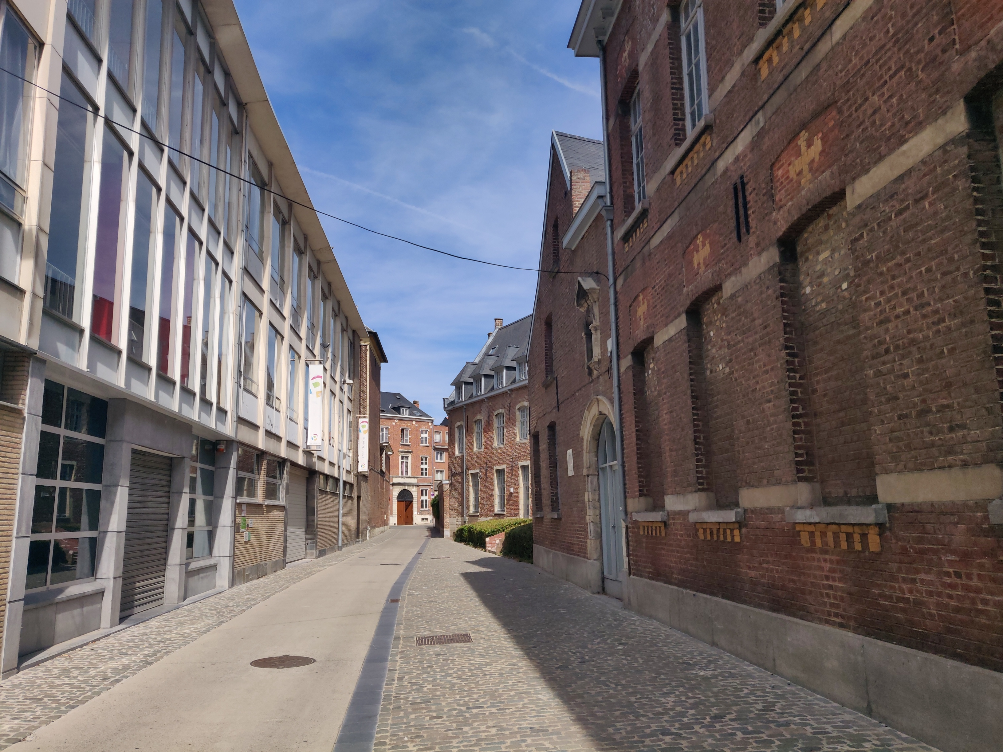
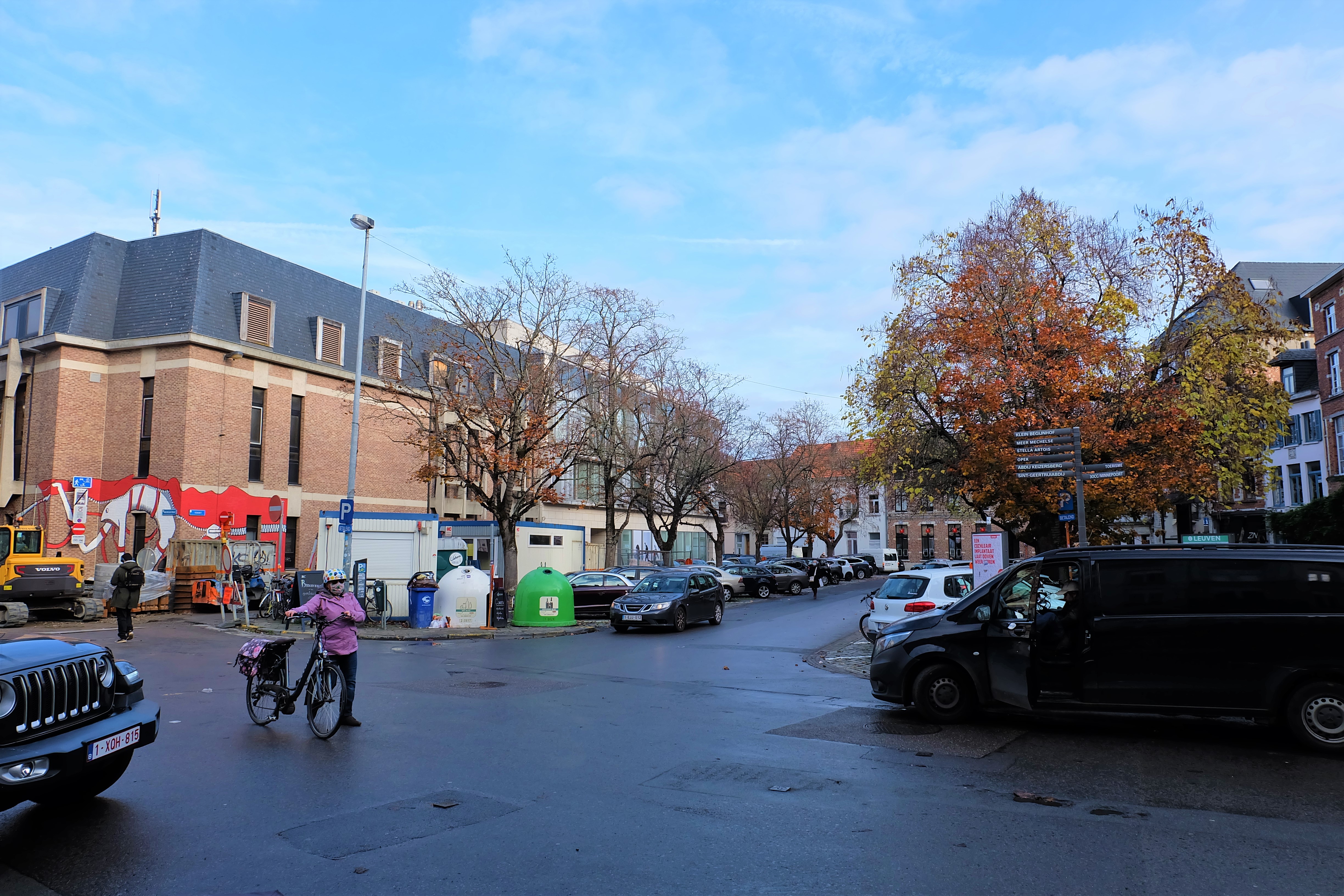
It is not known when the building of the Korenhuis was torn down. But the German bombardment of Leuven that led to the Great Fire on 22-24 August 1914 completely destroyed the Zeelstraat and the whole of the Oude Markt. This means that not even the foundations of the Korenhuis could be found.


Sources:

https://www.geneanet.org/cartes-postales/view/7729136#0 (image)
Louvain monumental ou Description historique et artistique de tous les édifices civils et religieux de la dite ville, by Edward van Even, 1860

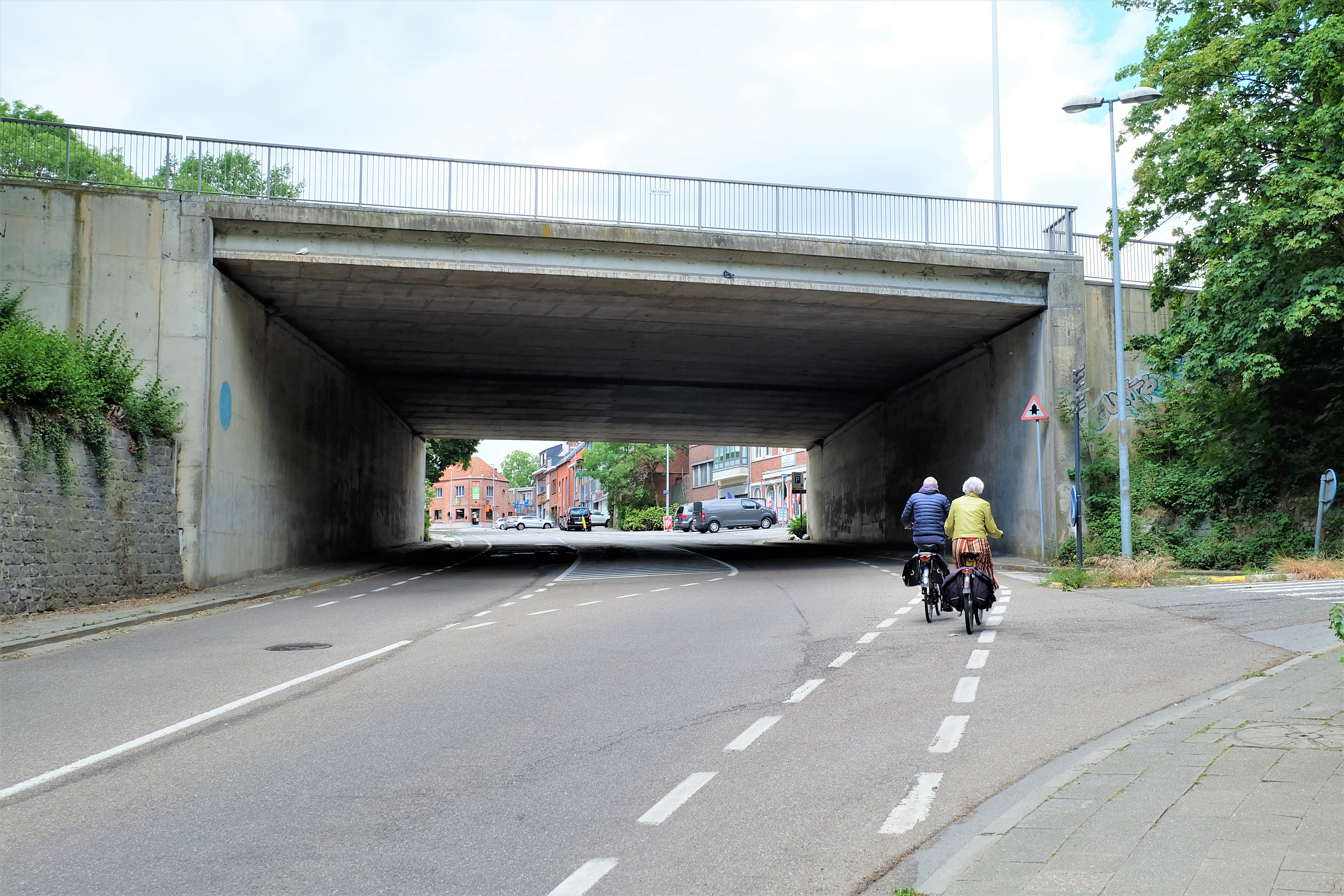
HOW IT LOOKS LIKE TODAY

Click on the zoom icon to view the full size.

  • SHARE:

Oud Leuven: #6 Oratoriënhof This has to be one of the most interesting mistakes or misunderstanding I have found in the course of my research. I will explain why: On this location, the author of the 1649 Atlas van Loon’s map of Leuven marked it as “Vlierbeke abdye“, which is the “Abdij van Vlierbeek“. Yet the Vlierbeek Abbey is outside... Oud Leuven: #12 Het Groot Begijnhof The "Groot Begijnhof" is a "town-within-the-town" in the south of Leuven, on two arms of the River Dijle. Founded in the 13th century, this enclosed living quarters served religious women who lived in piety and chastity. The Groot Begijnhof is one of the best preserved, the largest and the most beautiful in the Low Countries.... Oud Leuven: Broekstraatpoort The Broekstraatpoort (Brook Street Gate) was located in the Janseniusstraat before the bridge and not far from the Irish College. Oud Leuven: #17 Priorij van de Heilige Ursula en de 11.000 Maagden Where the Bruulpark now stands in Leuven, there used to be a huge convent in the Middle Ages called the "Priorij van de Heilige Ursula en de 11.000 Maagden" (the Priory of Saint Ursula and 11,000 virgins). The whole area is today enclosed by Halvestraat, Pereboomstraat, Het Torentje and Brouwersstraat. Oud Leuven: Wolvenpoort The Wolvenpoort (The Wolfs Gate) was located on the Schapenstraat, at the foot of the hill east of the Proefstraatpoort. Oud Leuven: #68 Aarschotsepoort The 'Aarschotsepoort' (Aarschot Gate) is one of the eight city gates inherited from Leuven's 14th-century outer city fortifications. While the name remains, the actual position is vaguely indicated today as the inter-junction between the elevated ringway and the road along the Leuven-Dijle Canal known as De Vaart. Oud Leuven: #40 Hollands College Located on the square called Pater Damiaanplein, Hollands College is one of the best preserved colleges of the former University of Leuven. Much of the interior was never dismantled or destroyed during the French occupation, with many of its rooms dating back to the 18th century. Oud Leuven: #56 Waag Leuven, like many trading centres across the Benelux, used to have a public weighing house, or a 'weighhouse' called 'waag'. This allows the city administration to control the weighing of goods, to ensure a fair levying of taxes on goods. Leuven's Waag was located on the Zeelstraat, at the exit to the Oude Markt. Oud Leuven: Klooster van de Geschoeide Karmelietessen The former "Klooster van de Geschoeide Karmelietessen" (Convent of the Unreformed Carmelite Sisters) (1658-1783) was located at the beginning of Vlamingenstraat, where it meets the Tiensestraat. Today, the site is occupied by the Ferdinand Verbist Foundation of the KU Leuven university and a large part to the elderly home (Woonzorgcentrum Booghuys). Oud Leuven: #53 Vleeshuis Directly in front of Leuven's Sint-Pieterskerk is a square called 'Mathieu de Layensplein', after the city's Late Gothic architect. In fact, right up until 1914, this was Leuven's indoor meat market called 'Vleeshuis'. Oud Leuven: #62 Vismarkt The oldest recorded marketplace of Leuven, the Vismarkt (Fish Market) is now an above-ground carpark that is framed by the Craenendonck, the Mechelsestraat, the Karel van Lotharingenstraat, the Visserstraat and the Augustijnenstraat. Its history as probably the first nuclear settlement of Leuven still lies hidden beneath the surface, as is an ancient arm of the... Oud Leuven: #67 Mechelsepoort The 'Mechelsepoort' (Mechelen Gate) is one of the eight city gates inherited from Leuven's 14th-century outer city fortifications. It is located in the north of the city, at the end of the Mechelsestraat. Oud Leuven: #44 Sint-Joriskapel In the corner between the Kapucijnenvoer and Bankstraat, there used to be a Chapel devoted to St George. Today, it is a quant 18th-century house that is privately owned. Oud Leuven: #73 Tervuursepoort The Tervuursepoort (Tervuren Gate) used to be one of the 14th-century outer city defence gates of Leuven. It is now part of the city's ring road, that links the intra-muros Tervuursestraat to the extra-muros Tervuursesteenweg. Unbeknownst to many nowadays, Tervuursepoort was one of the Seven Wonders of Leuven and its most beautiful and strong city... Oud Leuven: #57 Berg van Barmhartigheid The Mons Pietatis (Mount of Piety) was located in the corner between the Vaartstraat and the Lombaardenstraat in Leuven. In medieval Europe, the Mons Pietatis was the only form of loan available to citizens.
  • Share:

Leave a Reply