OUD BRUSSEL: #1 LEUVENSEPOORT

Oud Brussel: #1 Leuvensepoort

  • SHARE:
  • Name on the map:

    Lovensche poorte

  • Original name in Dutch:

    Leuvensepoort

  • Other names:

    Nuwerpoerte, Buitenste Leuvensepoort

  • 19th century name in French:

    Porte de Louvain

  • Current name:

    Place Surlet de Chokie, Madou

ABOUT

The Leuvensepoort (Leuven Gate) was part of Brussels’ second and outer defence wall. Today, the former city gate would have been located at the junction between Hertogstraat (Rue Ducale) and Leuvenseweg (Rue de Louvain), and not on the Surlet de Chokierplein and the Madouplein.

Origin

The War of the Brabantian Succession (15 June 1356 – 4 June 1357)

When he died in 1355, Jan III Duke of Brabant and of Limburg left behind three daughters and no son. This created a succession problem for the Duchy. His second son-in-law, Louis II, Count of Flanders, alias Louis of Male, attacked the Duchy in an attempt to seize power, aided by Jan’s third son-in-law Reginald III, Duke of Guelders.

In fact, Duke Jan III had intended for his oldest daughter Joanna to succeed him, according to “ius Brabantinum” law.

In order to exert her power, Joanna and her husband performed the “Joyous Entry of 1356” in Leuven on 3 January 1356. This is known in Dutch as the “Blijde Inkomst” and the street in which they entered Leuven is still known today as the “Blijde Inkomststraat“.

The Joyous Entry of 1356 is of vital significance.

It was not just a spectacle, witnessed by citizens, nobles and officials from all Brabantian cities. It was the Magna Carta of Brabant, where she granted a charter of liberties granted to the burghers in return for their loyalty to her as their Duchess.

Nevertheless, a few months later, Flanders attacked Brabant. The Flemish occupied Brussels (18 August 1356), Mechelen (20 August 1356), Leuven and Vilvoorde (22 August 1356), Antwerpen and Grimbergen (23 August 1356), Tienen and Nijvel (24 August 1356).

It was only when Joanna’s husband, Wenceslaus I, Duke of Luxembourg, approached his half-brother, Charles IV, Holy Roman Emperor for help that the war ended. The Flemish were driven out of Brabant and Joanna was finally recognised as the Duchess of Brabant by her neighbours.


400 years of Brussels’ Outer City Wall (1357-1783)

It was likely the result of this war that Brussels started building its second (outer) city walls.

Records show that the constructions started in 1357, a year after Leuven. By 1379, the names for the new city gates started appearing in documents with different variations.

First it was the city gates that were built, and the walls linking the gates were then erected. In total, there were seven city gates:

Leuvensepoort
(Nieuwe) Koudenbergpoort (later Naamsepoort)
Obbrusselpoort (later Hallepoort)
Anderlechtsepoort
Vlaamsepoort
Lakensepoort
Keulsepoort (later Schaarbeeksepoort)

But with the decision by Habsburg Emperor Jozef II to demolish all city defense throughout his realm, Brussels’ city wall was gradually torn down since 1783.

In the place of the city gates, twin pavilions were placed at fourteen entry points. The walls gave way to broad green boulevards designed by Jean-Baptiste Vifquain, from 1818 to 1840. But because of Brussels was already being Brussels, due to the taxation differences between Brussels inhabitants and those of the satellite towns, a patent wall had to be built 2.5m high with a 3m-wide ditch (basically a small city wall) to demarcate the city boundaries.

During this time, a ring road following the pentagonal shape of the old city was built over the moat. Today, the circle metro line follows the trajectory and so does the modern inner ring road.

What's so special about this place?

The First Outer City Gate

The first outer city gate mentioned in the records was “Nuwerpoerte” (New Gate) in 1357. We are able to identify this as the Leuvensepoort because of its association with the inner city gate “Sint-Goedelepoort” (St. Gudula Gate) by the Leuvenseweg (the road to Leuven). The name Leuvensepoort was only mentioned in 1422, after which further distinction was made between the inner Leuven Gate – the old St. Gudula Gate – and the new outer Leuven Gate.

With the second defense wall up, worshippers who used to belong to the parish of the Sint-Goedelekerk were shut out as now the city gates were closed every evening. This led to the erection of a new parish church in the farming village of Sint-Joost-ten-Node (St. Judoc at needs) just outside the city gate.

The task of guarding the Leuvensepoort was entrusted to the Steenweeghs, one of the seven patrician families of Brussels. This task was assisted by the Sint-Jansnatie (St John’s Nation) one of the Nine Nations of Brussels after 1421.


How did the Leuvensepoort look like?

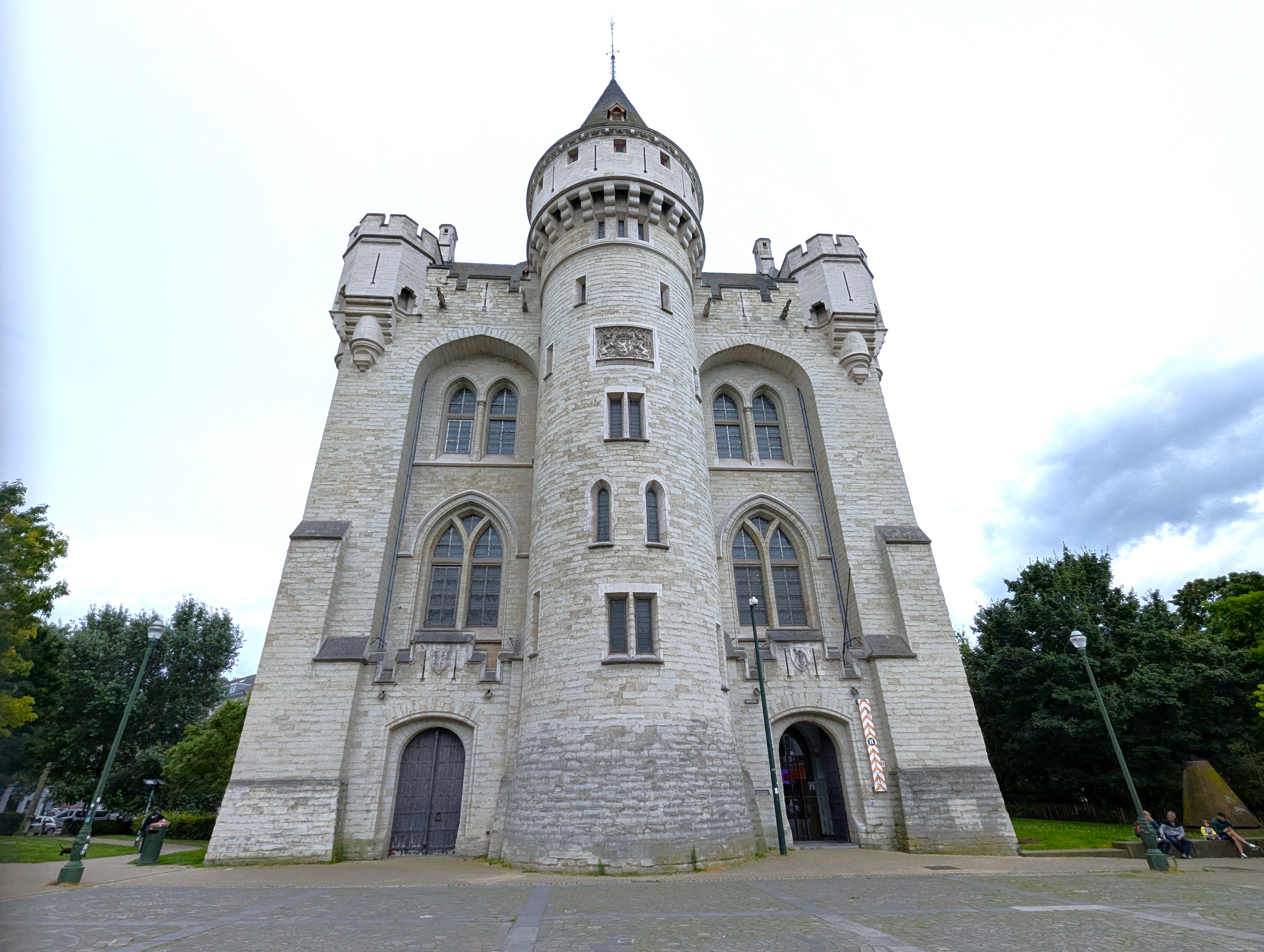
The Leuvensepoort had an impressive main tower with two lower advanced towers on the extra-muros side. A ravelin was constructed in the 16th century with an extensive hornwork performed in 1672-1702. Its wooden drawbridge was replaced in 1702 by a stone bridge.

Following the decree by Emperor Jozef II to demolish all city fortifications, the Leuvense Gate was sold in 1783 for 1550 florins. The demolition was completed the following year.

Current situation

The former imposing Leuvensepoort is no more.

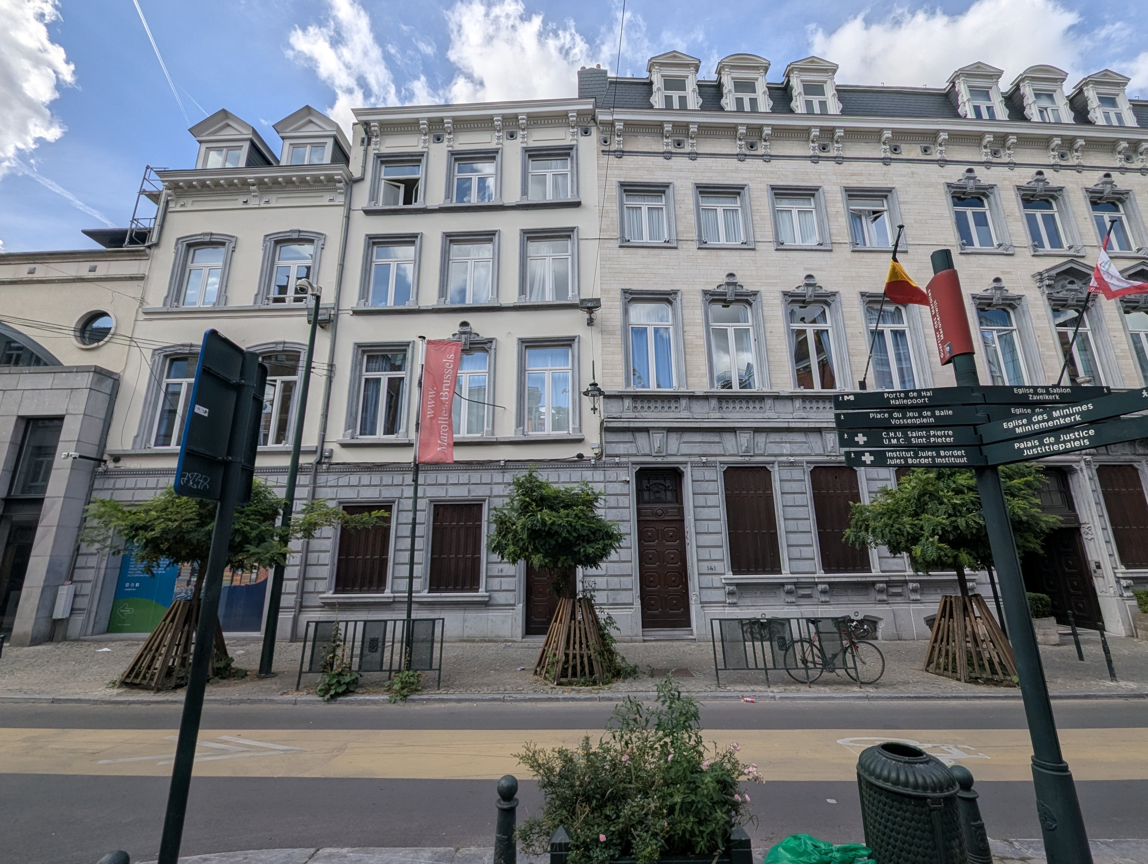
Today, one would assume that the Place Surlet de Chokie square and the Madou square stand where the Leuvensepoort once stood.

But the trajectory had clearly shifted, as attested by the direction of the intra-muros Leuvenseweg (Rue de Louvain) and the extra-muros Leuvense Steenweg (Chausée de Louvain), separated by the ring road which was built on top of the moat.

The city gate would thus have been located at the junction of the Leuvenseweg and the Hertogstraat (Rue Ducale).


Sources:

Vannieuwenhuyze, B. (2011) “Brussel, de Ontwikkeling van een middeleeuwse stedelijke ruimte.” Amsterdam: Amsterdam University Press.
https://nl.wikipedia.org/wiki/Stadspoorten_van_Brussel
https://nl.wikipedia.org/wiki/Leuvensepoort_(Brussel)
https://collections.heritage.brussels/fr/objects/51980 (image)
Vitzhumb, P. (1783) “Porte de Louvain, seconde enceinte de Bruxelles” (image)
Borremans, H. (1825-1860) “Briefkaart met afbeelding van een 19de eeuws schilderij van de Leuvense poort” (image)

HOW IT LOOKS LIKE TODAY

Click on the zoom icon to view the full size.

  • SHARE:

Oud Brussel: #25 Huis van Nazareth van de Broeders van het Gemene Leven Tucked away in the city’s archives, there is a story of a quiet but profound influence of the 'Broeders van het Gemene Leven' (Brethren of the Common Life) who left a deep but silent mark in the history of Brussels. Founded in 1422, their presence in the 15th and 16th centuries left a lasting mark... Oud Brussel: #19 Sint-Niklaaskerk The Sint-Niklaaskerk (Saint Nicholas' Church) is Brussels' oldest still-existing church structure dating from the 12th century. It is located close to the Grote Markt (Grand Place), closed by the Boterstraat (Rue au Beurre), the Kleine Boterstraat (Petite Rue au Beurre), the Grasmarkt (Rue du Marché aux Herbes) and the Taborastraat (Rue de Tabora). Oud Brussel: #30 Sint-Juliaangasthuis Along Brussels' main medieval artery of the long Hoogstraat (High Street), a modest 'guest house' dedicated to Saint Julian the Hospitaller was founded in the year 1356. Donated in the will of the brothers Spiegheleren, the Sint-Juliaangasthuis - sometimes known as the Sint-Gillijnsgasthuis or Sint-Gisleinsgasthuis - was situated in the lower parish of the Kapellekerk... Oud Brussel: #08 Sint-Elisabeth op de berg Sion Sint-Elisabeth op de berg Sion (St Elizabeth on Mount Zion) was an Augustinian convent in Brussels (1432-1796). Today, the main buildings of the convent would have been under the 'De Berlaimontlaan' (Boulevard de Berlaimont), in the section where Number 56, the printing house of the National Bank is located. The entrance of the convent would... Oud Brussel: #11 Begijnhof The former Great "Begijnhof" of Brussels was huge. Its formal name was "Begijnhof Onze-Lieve-Vrouw ten Wijngaard" (Begijnhof of Our Lady of the Vineyard). Back then in the 16th century, it occupied the area enclosed by the Lakensestraat, Zaterdagplein, Brandhoutkaai, and the Grootgodhuisstraat. Today only its community church, the Sint-Jan Baptist ten Begijnhofkerk (Church of Saint... Oud Brussel: #04 Anderlechtsepoort The location of Brussels' former outer city gate, the Anderlechtsepoort (Anderlecht Gate), is located on the ring way between the Anderlechtsesteenweg (intra-muros) and the Bergensesteenweg (extra-muros). Oud Brussel: #20 Minderbroedersklooster On the spot of today's Beursplein (Place de la Bourse), Anspachlaan (Boulevard Anspach) and the former Beurs (Bourse) , stood the earliest monastic order of Brussels - the Order of Saint Francis. Known in Dutch as the "Minderbroedersklooster", this Franciscan monastery existed from 1238(?) right until its dissolution in 1796. You can still see... Oud Brussel: #13 Sint-Eligiuskapel In the Middle Ages, located on the corner between today's Muntplein (Place de la Monnaie) and Schildknaapstraat (Rue de l'Écuyer), was a small but important chapel - Sint-Eligiuskapel - dedicated to the saint of all tradesmen. In those times, this chapel was not just a place of worship but a self-funding charitable guild to help... Oud Brussel: #31 Sint-Pieters-ter-Zieken On the site of the city hospital of Saint Peter (UMC Sint-Pieter/CHU Saint-Pierre) today, once stood a large lepers' colony outside the city boundary of early medieval Brussels known as Sint-Pieters-ter-Zieken (Saint Peter of the Sick). Founded some time before 1174, Brussels' leper house was set up along the main trading route of the Hoogstraat,... Oud Brussel: #03 Obbrusselpoort The "Obbrusselpoort", now known as the "Hallepoort" or "Porte de Hal", is one of the most remarkable remnants of Brussels' medieval city defences. Located in the southern part of the city, this iconic gate has stood the test of time, transitioning from a crucial military structure to a celebrated historical monument. The Halle Gate is... Oud Brussel: #10 Collegiale kerk van Sint-Michiel en Sint-Goedele North of the central train station of Brussels, surrounded by Wildewoudstraat and the Sint-Goedeleplein is the 13th century Gothic Cathedral of St. Michael and St. Gudula (Kathedraal van Sint-Michiel en Sint-Goedele). Located on the site of one of the earliest medieval remnants of Brussels, the cathedral is the national church of Belgium and of the... Oud Brussel: #17 Sint-Jacob-op-Koudenberg Founded around 1100, the Sint-Jacob-op-de-Koudenbergkerk - Church of St. James on Coudenberg - is one of the oldest (even possibly the oldest) churches in Brussels. From what was most likely a small chapel on a strategic military outpost, the Sint-Jacobskerk-op-Coudenberg grew to become both a parish church and a provostry in the late Middle... Oud Brussel: #16 Maria-Magdalenaklooster From 1506 t0 1785, was a special convent dedicated to Mary Magdalene known as the Maria-Magdalenaklooster located on today's Kleerkopersstraat (Rue des Fripiers), bordered with the Schildknaapstraat (Rue de l'Écuyer) and Greepstraat (Rue de la Fourche). Known also as the 'Priorij Bethanië' (Priory of Bethany), the convent was set up for former prostitutes called at... Oud Brussel: #21 Sint-Gorikskerk On the spot of today's Sint-Gorikshallen (Halles Saint-Géry) once stood the Sint-Gorikskerk - Church of Saint Gaugericus, from the early Middle Ages right until the end of the 18th century. Located on the largest island in the River Zenne, the Sint-Gorikskerk was closely associated with the founding myth of Brussels. Oud Brussel: #07 Keulsepoort - Schaarbeeksepoort The former Keulsepoort (later Schaarbeeksepoort) was one of the outer city gates of Brussels built in the 14th century. Today, it would have been on the spot of the "Financietoren" (Finance Tower) and its extra-muros compound is now the Brussels Botanical Gardens.
  • Share:

Leave a Reply